What is recorded here
In pasture, gently undulating on upslope with land falling to NW toward valley of stream below. No clear visible surface trace, except subtle undulations making no discernible pattern. Area recently grazed to NW and in lush pasture to SE. Identified by aerial photograph (GSI S.502/1, June 1973). Enclosure (TS071-032----) located 190m to SSW.
Compiled by: Jean Farrelly
Date of upload: 26 August 2011
The monument record does not grant public access. Check the route and ask the landowner before entering private land.
- What survives
- Recorded monument
Places near here
 Whitehall Bridgebridge · 1641 yd
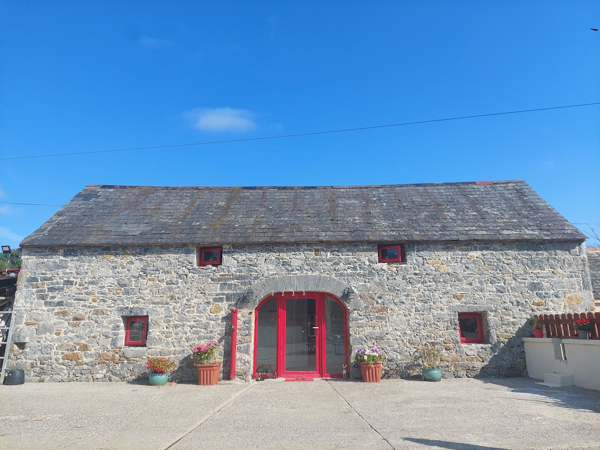 Enclosure in Bleenaleen UpperEnclosure · 1.1 mi
 Church in GarrangibbonChurch · 1.4 mi
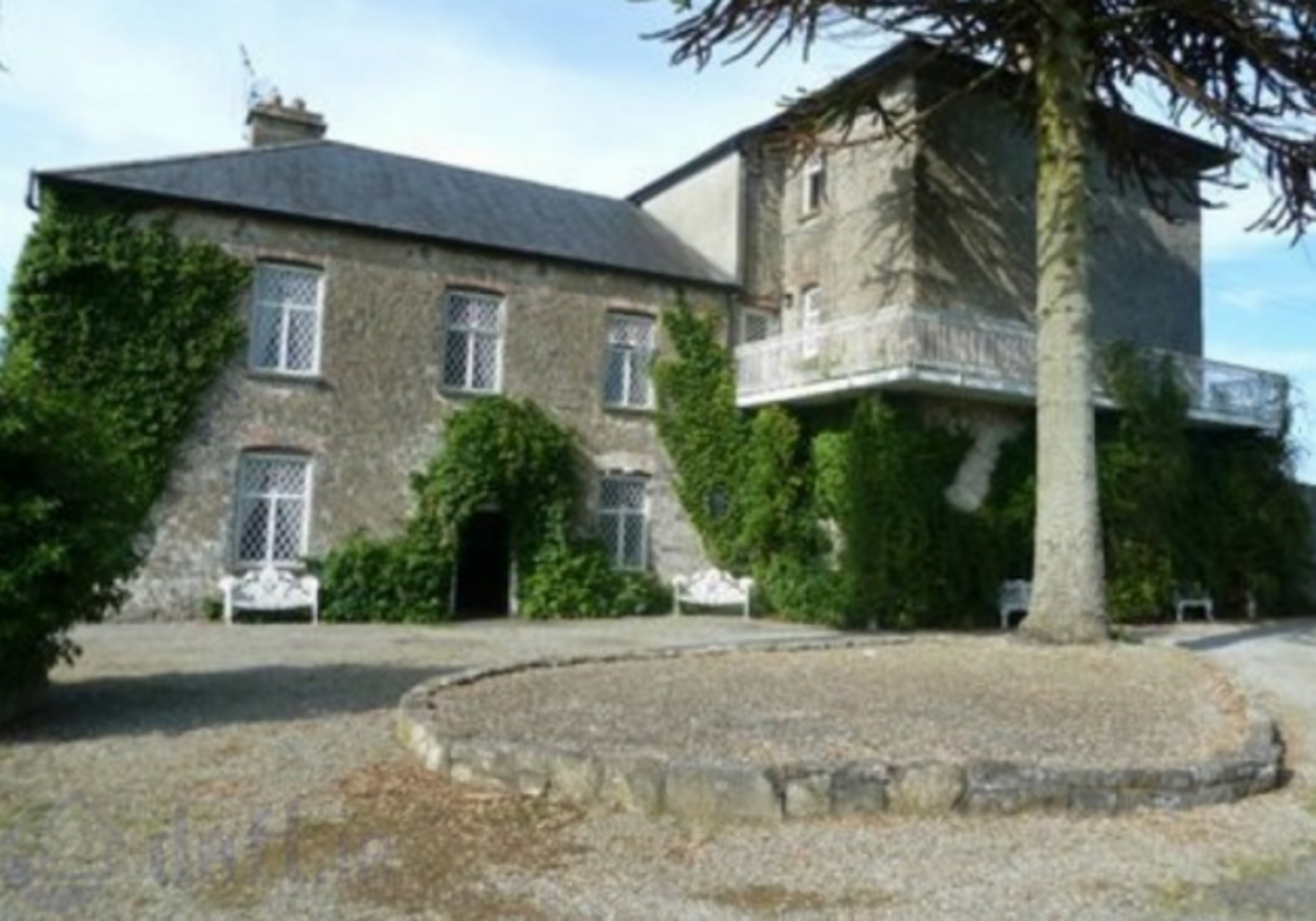 Enclosure in KnockrathkellyEnclosure · 1.5 mi
 CastleCastle, ringwork · 1.7 mi
 SheegounaMountain / peak · 2.0 mi
 Carrigaloe RockNamed rock · 2.1 mi
 KnockahunnaMountain / peak · 2.2 mi
 The SpoutMemorial · 2.4 mi
 Kilcash WoodForest · 2.4 mi
 Wild CherryWild Cherry · 2.7 mi
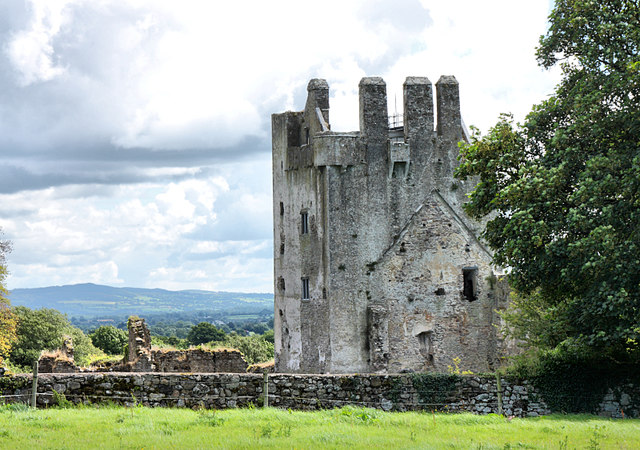 Bawn in KilcashBawn · 2.8 mi