What is recorded here
Martello Tower No. 1 (Kerrigan 1995, 170). Indicated on the OSi 1st edition map. Demolished (after 1870) during construction of Ballygannon Railway extension. No visible surface remains. (SMR file).
See attached Taylor's 1816 Map showing the location of the Martello Tower.
Taylor, J. 1816 Taylor's map of the environs of Dublin: extending 10 to 14 miles from the castle, by actual survey, on a scale of 2 inches to one mile.
Compiled by: Claire Breen
Revised by: Caimin O'Brien
Date of revised upload: 23 January 2023
The monument record does not grant public access. Check the route and ask the landowner before entering private land.
- What survives
- Recorded monument
Places near here
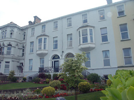 Kinvara Househouse · 82 yd
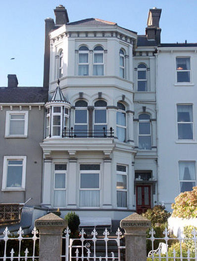 Bella Vistahouse · 83 yd
 Bray BeachBeach / strand · 276 yd
 Naylor's CoveBeach / strand · 778 yd
 Christopher ThompsonMemorial · 1146 yd
 European YewEuropean Yew · 1182 yd
 Cas.Castle, tower house · 1424 yd
 Bray HeadMountain / peak · 1455 yd
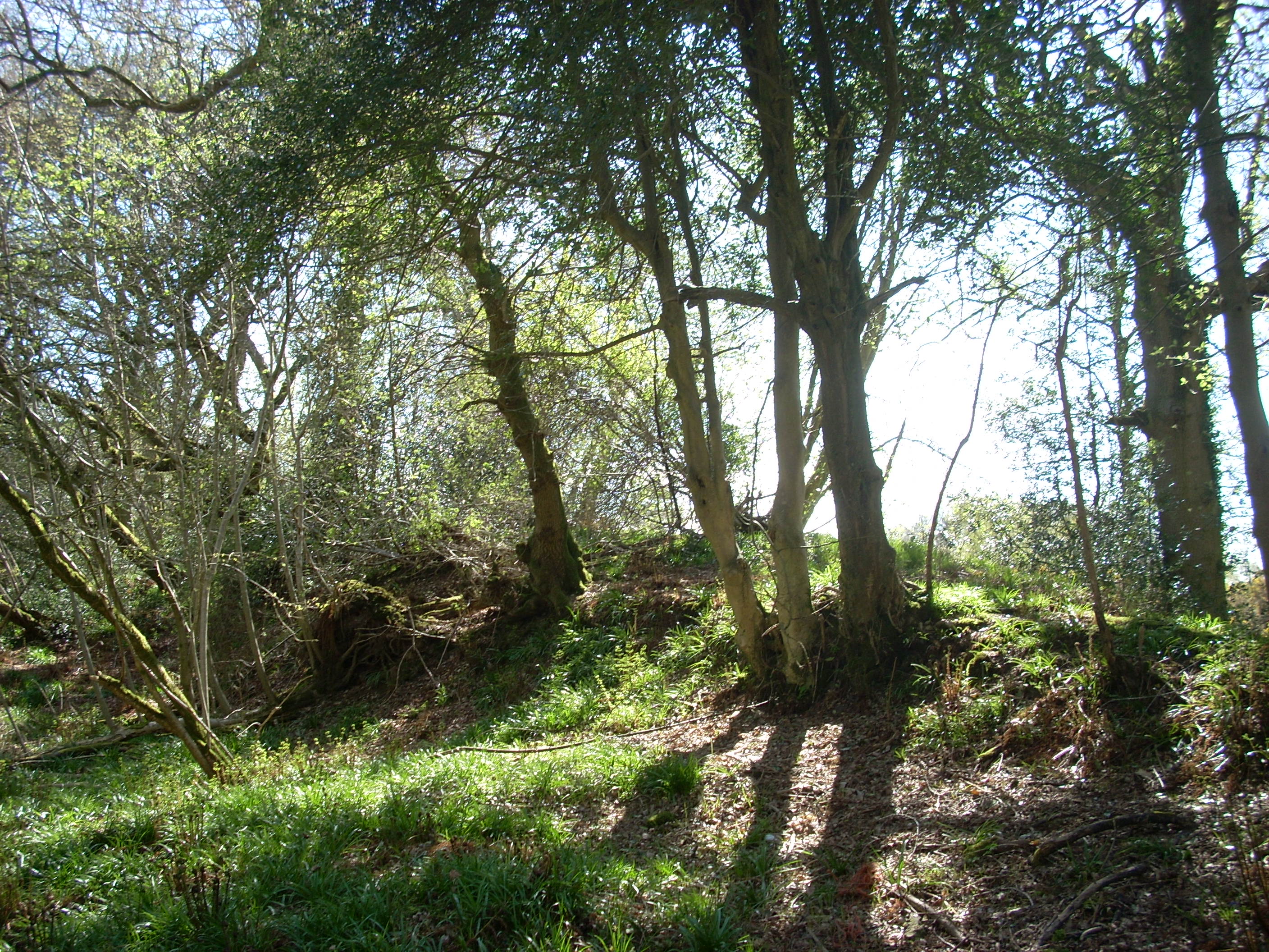 Linear earthwork in Cork GreatLinear earthwork · 1472 yd
 Proclamation of the Irish RepublicMonument · 1499 yd
 Stone PineStone Pine · 1609 yd
 IndicatedCastle, tower house · 1.9 mi