What is recorded here
In reclaimed pasture. Indicated as a subrectangular enclosure (dims. c. 48-50m NW-SE; c. 35-40m NE-SW) on the 1st (1839) ed. OS 6-inch map with a field boundary with farm trackway running N-S through the centre of the monument. A field boundary runs E-W up to the S side from both the E and W and another runs S from the W end of the S side. The field boundary and trackway to the N have since been removed, as has the field boundary to the E (Google Earth satellite imagery, imagery date 8 June 2005).
Compiled by: Jean Farrelly
Date of upload: 29 September 2021
The monument record does not grant public access. Check the route and ask the landowner before entering private land.
- What survives
- Recorded monument
Places near here
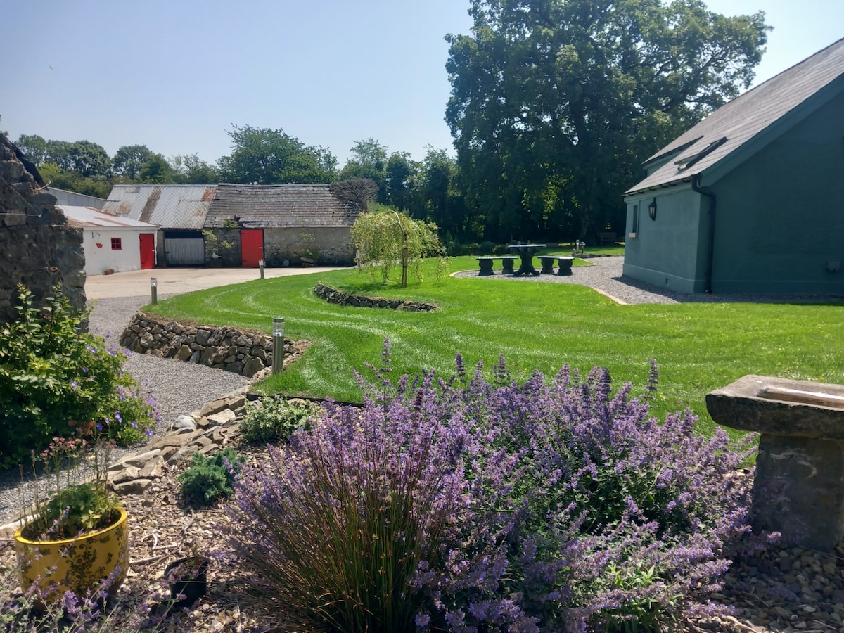 HachauredEnclosure · 760 yd
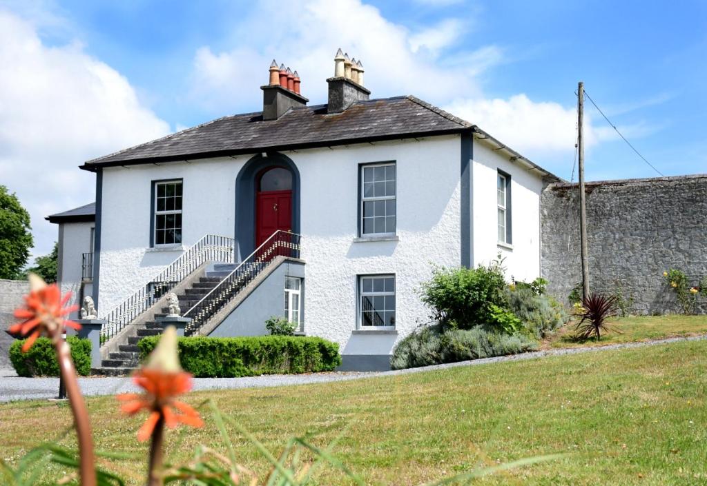 Enclosure in NeighamEnclosure · 872 yd
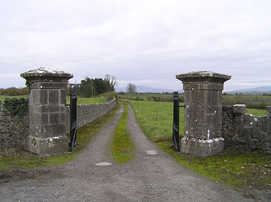 gates/railings/wallsgates/railings/walls · 1269 yd
 IndicatedBawn · 1517 yd
 Neigham CastleCastle, tower house · 1530 yd
 Red BogForest · 1.1 mi
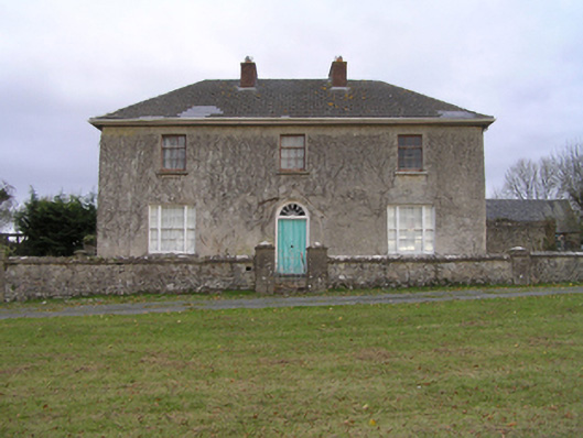 rectory/glebe/vicarage/curate's houserectory/glebe/vicarage/curate's house · 1.1 mi
 BogForest · 2.3 mi
 Tullaherin Church and Round TowerVisitor information · 3.0 mi
 Kilbline GraveyardArchaeological place · 4.1 mi
 Time CapsuleMemorial · 5.0 mi
 St. Mogarra’s WellSpring · 6.5 mi