What is recorded here
In reclaimed grassland. Outline of circular-shaped area (approx. diam. 7m) defined by a fosse visible on Digital Globe orthophoto taken 2011-13 and earlier OSi orthophotos.
Compiled by: Caimin O'Brien
Date of upload: 24 June 2020
Ditch barrow, likely dating to the Early Bronze Age. Its earthwork features suggest a funerary or ceremonial function, typical of burial monuments from this period in the British Isles.
The monument record does not grant public access. Check the route and ask the landowner before entering private land.
- What survives
- Recorded monument
Places near here
 BarrowBarrow, ring-barrow · 241 yd
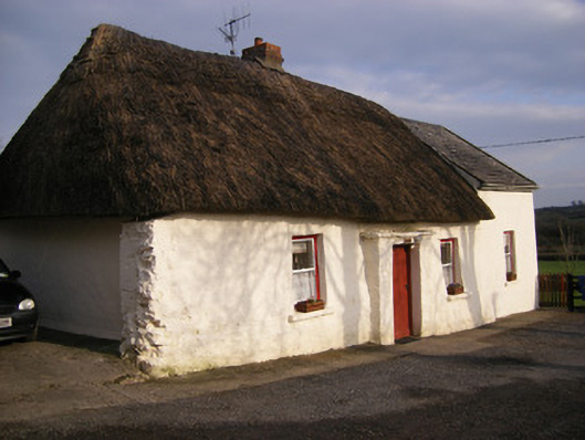 Highstreethouse · 1047 yd
 ToberagaddySpring · 1189 yd
 Kilmore Burial GroundBurial ground · 1281 yd
 Kilduff CastleCastle · 1299 yd
 Kilduff Castle (in ruins)Castle, tower house · 1300 yd
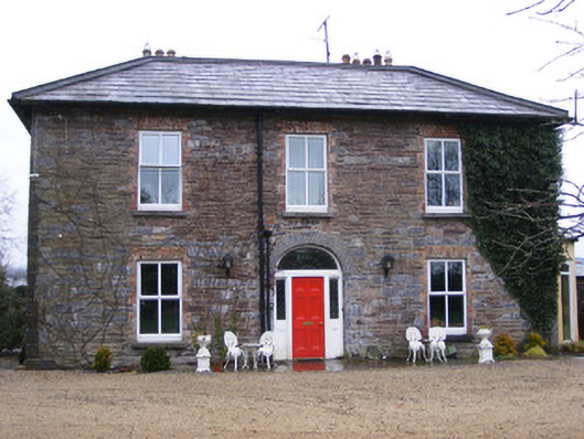 Sunville Househouse · 1500 yd
 KnockseefinMountain / peak · 2.1 mi
 Oola HillMountain / peak · 3.9 mi
 St. Patrick's WellSpring · 4.6 mi
 Graveyard in AbingtonGraveyard · 6.2 mi
 Flat cemetery in Knockainy WestFlat cemetery · 8.9 mi