What is recorded here
Aerial photograph (GB89.Q.18, 13 July 1989) shows cropmark of a ring-ditch (diam. c. 11m). There is another ring-ditch (KK014-132----) c. 4m to the SE.
See attached OS Ortho image.
Compiled by: Jean Farrelly and Dr. Gillian Barrett for the Archaeological Survey of Ireland
Date of revised upload: 22 June 2020
The monument record does not grant public access. Check the route and ask the landowner before entering private land.
- What survives
- Recorded monument
Places near here
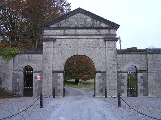 Swifte's Heathgates/railings/walls · 348 yd
 Enclosure in BrackinEnclosure · 359 yd
 Enclosure in Clintstown (fassadinin By.)Enclosure · 392 yd
 IndicatedCastle, unclassified · 1266 yd
 Church in Clintstown (fassadinin By.)Church · 1316 yd
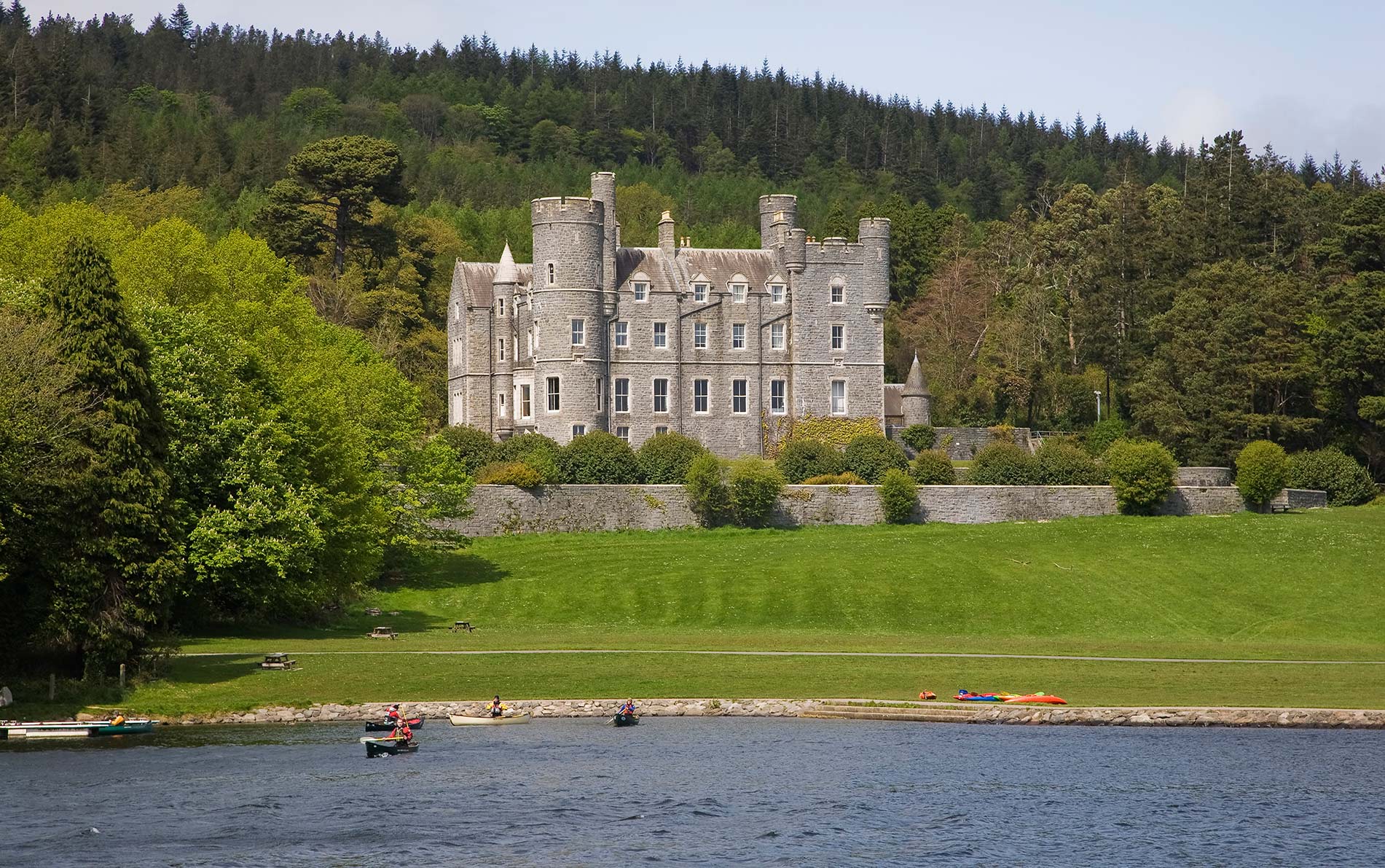 CastleCastle, unclassified · 1593 yd
 Saint Coleman's WellSpring · 1.4 mi
 Graveyard in ThreecastlesGraveyard · 1.5 mi
 Turkey OakTurkey Oak · 1.7 mi
 Jenkinstown ParkForest · 1.8 mi
 Emma Jane Browne-ClaytonMemorial · 3.2 mi
 Donaghmore WellSpring · 3.3 mi