
What is recorded here
In a fairly level cultivated grass field on a gentle W-facing slope towards a channel of the River Nore. On the Down Survey (1655-6) Parish map of Coolerahin, there is a castle drawn in the W portion of the townland, E of the River Nore. The terrier accompanying the map of records, ‘a little Castle and House in Repaire at Clintstowne with some Cabbins’, with the proprietor listed as ‘Lord MountGarrett Ir[ish] Pa[pist]’. According to Carrigan (1905, vol. 2, 199), in the '"castle-field" there was a castle, the ruins of which were removed about 1860; it belonged, as did the whole townland, to the Mountgarrets'.
The field is known locally as 'Castle Field' and cannon balls, now missing, were uncovered here in the 1950s. Though not indicated as a castle, a rectangular ruined building (dims. c. 16m x c. 5m), orientated NNW-SSE, is depicted on the 1st (1839) edition OS 6-inch map in this field. It is not depicted on the revised 1947 edition. The castle is not visible at ground level.
Compiled by: Jean Farrelly
Date of revised upload: 14 January 2019
A local castle; wider significance not recorded.
The monument record does not grant public access. Check the route and ask the landowner before entering private land.
- What survives
- Recorded monument
Places near here
 Enclosure in Clintstown (fassadinin By.)Enclosure · 155 yd
 CastleCastle, unclassified · 561 yd
 Church in Clintstown (fassadinin By.)Church · 955 yd
 Castle (in Ruins)Castle, tower house · 967 yd
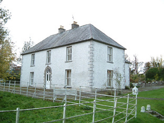 Lismaine Housefarm house · 969 yd
 Enclosure in BrackinEnclosure · 1061 yd
 Graveyard in ThreecastlesGraveyard · 1.8 mi
 Turkey OakTurkey Oak · 2.1 mi
 Emma Jane Browne-ClaytonMemorial · 2.5 mi
 Red horse-chestnutRed horse-chestnut · 2.5 mi
 Freshford LoopWalking route · 3.0 mi
 Anker's IslandIsland · 5.3 mi
Other information
Photo: Credit not shown in the picture search · Rights wording not checked; contact us if this picture should be removed