
What is recorded here
On the E bank of the River Nore, adjacent to a large island in the river. A large D-shaped enclosure (diam. c. 50m), with straight W side running NW-SE (L. c. 45m). Identified on an aerial photograph (GB89.Q.40, July 1989).
Compiled by: Jean Farrelly
Date of revised upload: 28 January 2019
The monument record does not grant public access. Check the route and ask the landowner before entering private land.
- What survives
- Recorded monument
Places near here
 IndicatedCastle, unclassified · 155 yd
 CastleCastle, unclassified · 427 yd
 Church in Clintstown (fassadinin By.)Church · 900 yd
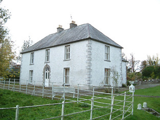 Lismaine Housefarm house · 987 yd
 Enclosure in BrackinEnclosure · 1148 yd
 Enclosure in Cooleeshal MoreEnclosure · 1432 yd
 Graveyard in ThreecastlesGraveyard · 1.8 mi
 Turkey OakTurkey Oak · 2.0 mi
 Emma Jane Browne-ClaytonMemorial · 2.4 mi
 Red horse-chestnutRed horse-chestnut · 2.4 mi
 Freshford LoopWalking route · 2.9 mi
 Anker's IslandIsland · 5.3 mi
Other information
Photo: Credit not shown in the picture search · Rights wording not checked; contact us if this picture should be removed