
What is recorded here
Carrigan (1905, vol. 2, 199) records the tradition of an early church and graveyard (KK014-001002-) in Clintstown, 'In the angle form by the townland at its point of meeting with Braccan and the Nore'. Based on Carrigan's reference the church has been located to the area in Clintstown townland where Brackin townland meets the River Nore. There is no river, other than the Nore, indicated on the OS 6-inch maps in this area. O'Kelly (1985, 37) also mentions that in Clintstown there is a field called, 'the Castle field which is said to be the site of an ancient church'. Neither the church or graveyard are visible at ground level.
Compiled by: Jean Farrelly
Date of upload: 11 May 2020
The monument record does not grant public access. Check the route and ask the landowner before entering private land.
- What survives
- Recorded monument
Places near here
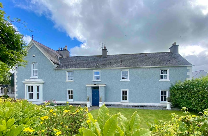 Enclosure in Cooleeshal MoreEnclosure · 714 yd
 Enclosure in Clintstown (fassadinin By.)Enclosure · 900 yd
 IndicatedBridge · 1039 yd
 Church in ruinsChurch · 1083 yd
 CastleCastle, unclassified · 1113 yd
 Castle (in Ruins)Castle, tower house · 1.1 mi
 Graveyard in ThreecastlesGraveyard · 1.3 mi
 Turkey OakTurkey Oak · 1.5 mi
 Jenkinstown ParkWood · 2.0 mi
 Emma Jane Browne-ClaytonMemorial · 2.6 mi
 Freshford LoopWalking route · 3.0 mi
 Anker's IslandIsland · 5.8 mi
Other information
Photo: Credit not shown in the picture search · Rights wording not checked; contact us if this picture should be removed