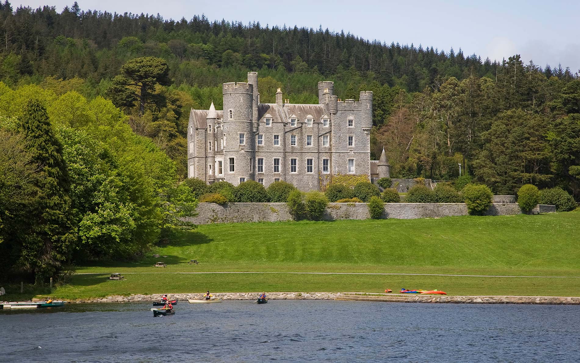
What is recorded here
Yes. The claimed answer still contains the exact banned phrase or an unchanged proper name. Remove that whole phrase, keep the missing fact absent, and preserve the exact request without inventing a new claim.
At the S end of a small N-S ridge on the floor of the Nore river valley, in rolling grassland. There are good views in all directions, though partly blocked to the E by a higher ridge. The castle is indicated on the Down Survey 'Parrish map of Mayne' (1655-6) in the northern portion of the townland and described in the accompanying terrier as, 'a little Castle in repaire at Tulleglasse', with the proprietor listed as 'Peter Shee Ir[ish] pap[ist]'.
The remains consist of an oval mound (max. dims. L 23m N-S; W 17m E-W at NW end, W 5m at SE end) which was largely demolished in the mid-1980s. The surviving mound, much overgrown, is entirely covered by loose stones. Two short sections of low roughly coursed wall of undressed stone remain, one in the NW (L c. 1.5m running N-S) and one in the NE (L 2m running E-W).
Compiled by: Jean Farrelly
Date of revised upload: 14 January 2019
Built by the Butler family in the late 15th or early 16th century, Tullowglass Castle served as a strategic stronghold overlooking the Nore river valley, important for its defensive position and control over local trade routes.
The monument record does not grant public access. Check the route and ask the landowner before entering private land.
- What survives
- Recorded monument
Places near here
 Jenkinstown ParkWood · 1003 yd
 Saint Coleman's WellSpring · 1004 yd
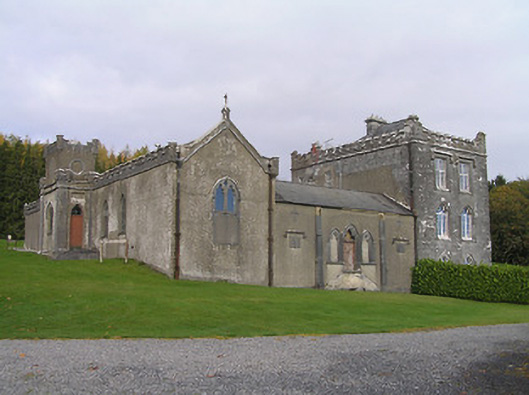 Jenkinstown Housechurch/chapel · 1151 yd
 Enclosure in Springhill (fassadinin By.)Enclosure · 1221 yd
 Enclosure in SwiftsheathEnclosure · 1252 yd
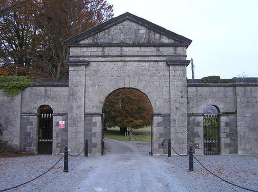 Swifte's Heathgates/railings/walls · 1327 yd
 Foulksrath CastleCastle, tower house · 1.1 mi
 Trinity WellSpring · 1.4 mi
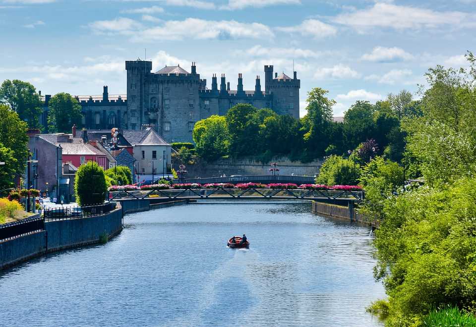 Site of Shanganny CastleCastle, unclassified · 1.5 mi
 Graveyard in ThreecastlesGraveyard · 1.9 mi
 Mohil GraveyardArchaeological place · 2.0 mi
 Turkey OakTurkey Oak · 2.1 mi
Other information
Photo: Credit not shown in the picture search · Rights wording not checked; contact us if this picture should be removed