What is recorded here
Fairy forts and earthen ringforts are common throughout Ireland. Some were human homes or farms, while others may have been abandoned and remembered as fairy places. The round shape, bank and ditch suggest a real dwelling or boundary, but local belief may have transformed it into a forbidden fairy home. Both ideas can be true at once, because memory often builds on the shapes already visible in the land.
Situated in a slight fold at the crest of an E-facing slope. It is visible as a vegetation mark on vertical aerial photographs from the 1970s (GSIAP: N 746/747). This is a circular area (diam. 41.5m NNW-SSE) defined by a low bank (at NNW: Wth of base 6.5m; int. H 0.2-0.3m; ext. H 0.4m) and a slight fosse (at NNW: Wth 3.1m; ext. D 0.1m) NW-E, and the fosse can be traced as a band of lush vegetation elsewhere. It can be seen on OSI images (1995).
The above description is derived from the published 'Archaeological Inventory of County Meath' (Dublin: Stationery Office, 1987). In certain instances the entries have been revised and updated in the light of recent research.
Compiled by: Michael Moore
Date of revision: 31 August 2018
The monument record does not grant public access. Check the route and ask the landowner before entering private land.
- What survives
- Recorded monument
Places near here
 The CurraghWood · 545 yd
 Cross in EnniskeenCross · 1154 yd
 ToberarneyHoly well · 1517 yd
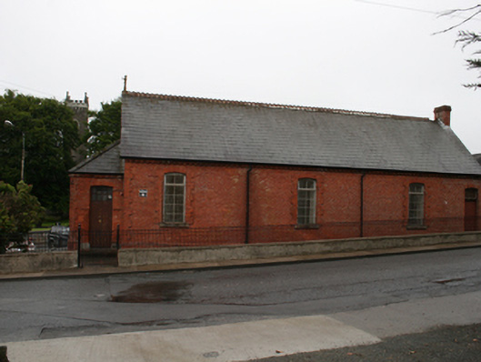 Kingscourt Parochial Hallchurch hall/parish hall · 1.1 mi
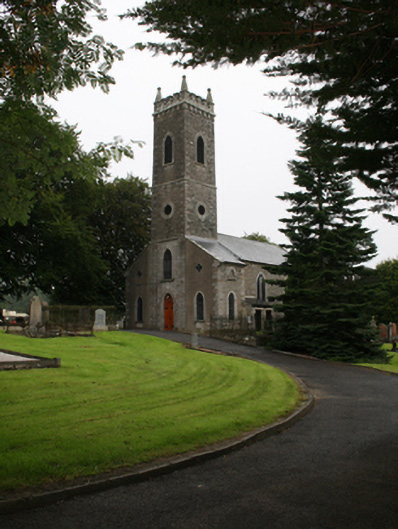 St Ernan's Church of Ireland Churchchurch/chapel · 1.1 mi
 Miltown GlenWood · 1.2 mi
 CabraMountain / peak · 1.9 mi
 In Memory of Our DadMemorial · 2.2 mi
 Castle ruinsCastle, unclassified · 2.3 mi
 Natural Play AreaMemorial · 2.3 mi
 BarleyhillMountain / peak · 2.5 mi
 Castle in ruinsCastle, unclassified · 2.6 mi