
What is recorded here
Barrow is a fifty-one-metre ring-barrow on a narrow ridge in County Offaly, marked on the 1840 Ordnance Survey map as an irregular earthwork. Its shallow fosse and low bank still trace a circle despite field boundaries cutting through the west side. The shape suggests people once shaped that ridge into a visible marker, perhaps for burial, ceremony or simply to claim the high ground.
On top of a N-S ridge in undulating countryside. Roughly circular domed area (diam. 51m) enclosed by a wide shallow fosse (Wth 6m; ext. D 0.5m) with external bank (Wth 4m; ext. H 0.7m). W side of external bank acts as a field boundary while the SE sector of the inner fosse and external bank is destroyed. Indicated on 1840 edition of OS 6-inch map as an irregularly shaped earthwork.
The above description is derived from the published 'Archaeological Inventory of County Offaly' (Dublin: Stationery Office, 1997). In certain instances the entries have been revised and updated in the light of recent research.
Date of upload: 23 May 2011
The monument record does not grant public access. Check the route and ask the landowner before entering private land.
- What survives
- Recorded monument
Places near here
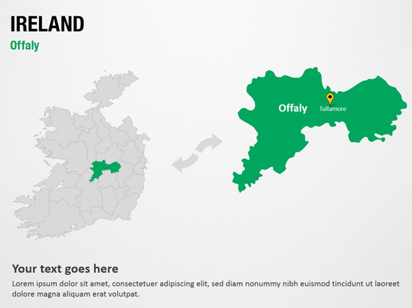 IndicatedFairy fort / earthen ringfort · 831 yd
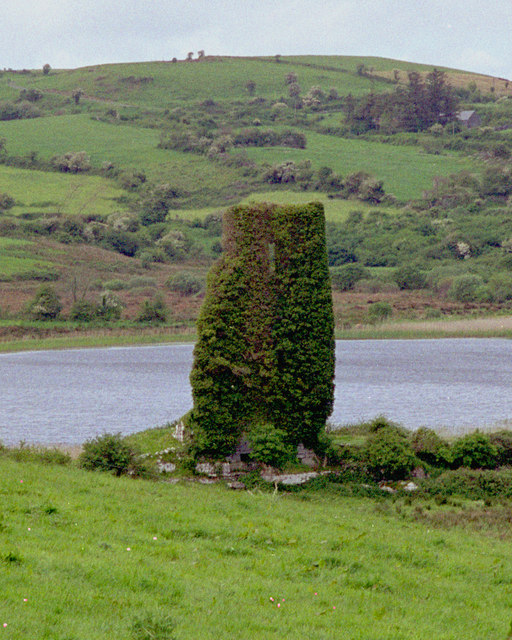 CastleCastle, tower house · 1552 yd
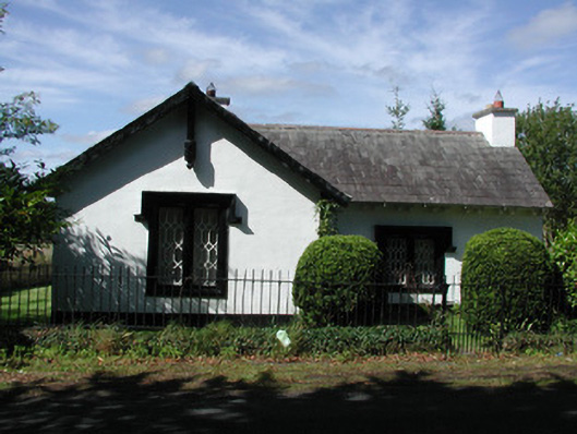 Sharavogue Housegate lodge · 1738 yd
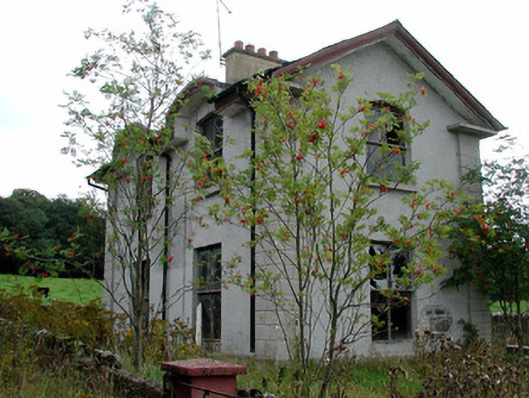 Gloster Housegate lodge · 1.1 mi
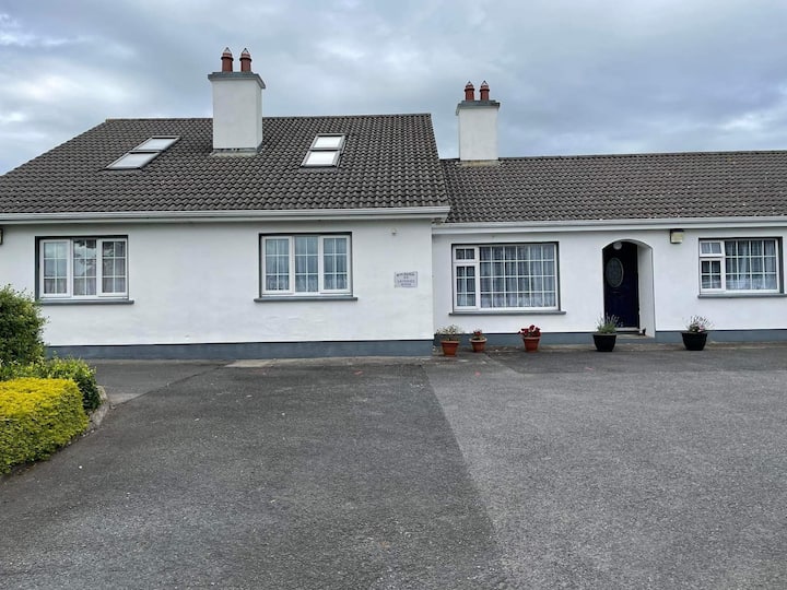 Enclosure in Rath MoreEnclosure · 1.2 mi
 Clonbeg Castle in ruinsCastle, unclassified · 1.8 mi
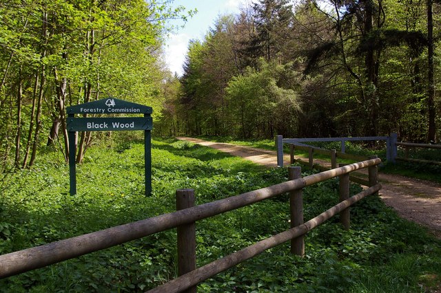 Black WoodForest · 2.4 mi
 Big WoodWood · 2.8 mi
 Eagle HillMountain / peak · 3.0 mi
 Leap CastleCastle · 3.4 mi
 Golden Grove HillMountain / peak · 3.7 mi
 Saint Kieran's WellSpring · 5.3 mi
Other information
Photo: Credit not shown in the picture search · Rights wording not checked; contact us if this picture should be removed