
What is recorded here
Barrow is a circular ditch barrow hidden in reclaimed pasture beside Rathanny, one of five possible burial mounds clustered across the Limerick fields. It resists easy discovery because grass and soil have smoothed its edges, yet aerial images reveal a five-metre circle cut by a narrow linear mark. People may have walked past it for centuries, unknowing, while the dead beneath kept their distance from the living world.
In reclaimed pasture, 80m W of townland boundary with Rathanny. Cropmark of a possible earthwork (LI040-207001-) lies 115m to the NW. One of a cluster of 5 possible barrows (LI040-207002-/003-; 207005; LI040-209----). Not marked on OSi historic maps. Identified as a circular cropmark by the Bruff aerial photographic survey in 1986 (Bruff 93.04; AP 5/2102). Monument visible as a circular cropmark (diam. c. 5m) intersected at E by a linear cropmark running roughly N-S on Digital Globe orthoimage taken between 2011-13 and on Google Earth orthoimage dated 14/09/2019.
See attached Bruff survey image showing cropmark labelled Bruff 93.04 and Google Earth orthoimages.
Compiled by: Fiona Rooney
Date of upload: 29 June 2021
Ditch barrow, likely dating to the Early Bronze Age. Its presence in a cluster suggests a significant ceremonial or funerary landscape.
The monument record does not grant public access. Check the route and ask the landowner before entering private land.
- What survives
- Recorded monument
Places near here
 BarrowBarrow, unclassified · 106 yd
 Grave YardBurial ground · 986 yd
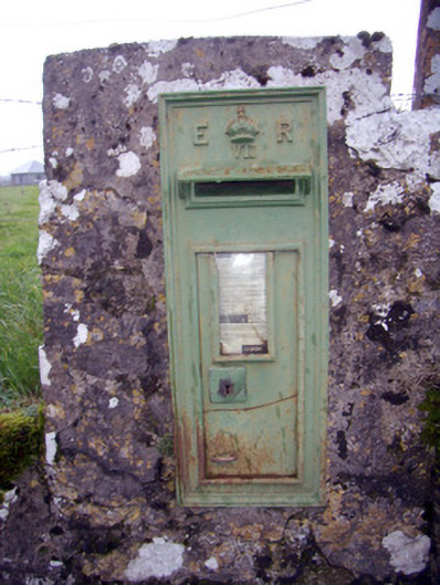 post boxpost box · 1478 yd
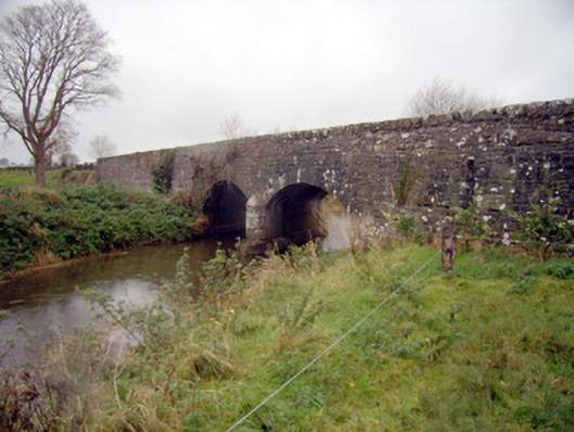 bridgebridge · 1605 yd
 Baggotstown Castle (in Ruins)House, fortified house · 1.2 mi
 Desmond Castle (in ruins)Castle, unclassified · 1.3 mi
 Flat cemetery in Knockainy WestFlat cemetery · 1.3 mi
 KnockainyMountain / peak · 1.7 mi
 St Patrick's WellSpring · 3.2 mi
 Edmund's WellSpring · 4.0 mi
 Ballinvreena LoopVisitor information · 4.6 mi
 Kilteely HillMountain / peak · 5.3 mi
Other information
Photo: Credit not shown in the picture search · Rights wording not checked; contact us if this picture should be removed