What is recorded here
In flat, marshy, reedy, low grade pasture between two N-S ridges of well-drained good quality pasture. The view is limited to the area between the ridges. A circular enclosure (diam. c. 30m) is depicted on the 1st (1839) ed. OS 6-inch map but not on the 1900 revision, suggesting it was levelled between 1839 and 1900. The land has been reclaimed and the enclosure is not visible at ground level. However, the faint outline of a circular enclosure is visible on satellite imagery (Digitalglobe, viewed 28 May 2019), as is a field boundary running NW-SE across the enclosure.
Compiled by: Jean Farrelly
Date of upload: 28 May 2019
The monument record does not grant public access. Check the route and ask the landowner before entering private land.
- What survives
- Recorded monument
Places near here
 Ardaneena Church (in ruins)Church · 808 yd
 Belle Vue Househouse · 1273 yd
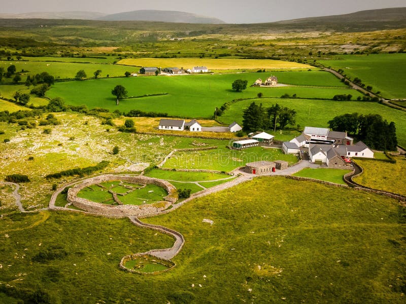 Borrismore Ringfort (Rath)Archaeological place · 1465 yd
 Black CastleCastle, hall-house · 1690 yd
 Enclosure in UrlingfordEnclosure · 1.0 mi
 CastleCastle, tower house · 1.3 mi
 John HelyMemorial · 2.1 mi
 DelaneyMemorial · 2.2 mi
 Clomantagh HillMountain / peak · 2.5 mi
 Kildrinagh WoodForest · 3.3 mi
 Rapefield WoodForest · 3.7 mi
 Derrynaflan TrailHeritage attraction · 9.4 mi