What is recorded here
Depicted as a road entitled 'Bohernameasa' on the 2nd (1907) ed. OS 6-inch map. This is a narrow road (Wth 2.2m) now tarmacadamed and used as a by-road. This may be a continuation of the 'ancient road' referred to by Power (1908, 61-2) which is currently an unlocated road (TS087-043----).
Compiled by: Jean Farrelly
Date of upload: 26 August 2011
The monument record does not grant public access. Check the route and ask the landowner before entering private land.
- What survives
- Recorded monument
Places near here
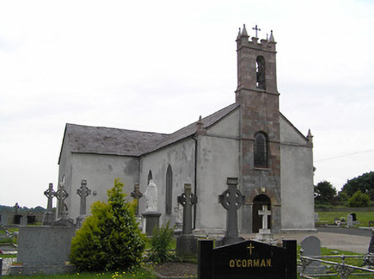 Catholic Church of Saint John the Baptistchurch/chapel · 1404 yd
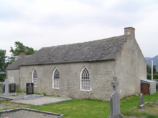 Castlegrace National Schoolschool · 1410 yd
 Enclosure in CastlegraceEnclosure · 1748 yd
 Site of Ballinhalla CastleCastle, unclassified · 1.1 mi
 St. Kierans WellHoly well · 1.2 mi
 CastleCastle, motte · 1.3 mi
 Bohernagore WoodForest · 2.5 mi
 Woodcock HillMountain / peak · 2.6 mi
 The VeeViewpoint · 2.8 mi
 Kildanogue wildfowl sanctuary and nature reserveNature reserve · 2.9 mi
 Grubb’s GraveMemorial · 3.0 mi
 Roche's HillMountain / peak · 3.7 mi
Other information
Photo: Credit not shown in the picture search · Rights wording not checked; contact us if this picture should be removed