What is recorded here
Fairy fort in Boherascrub West is a circular earthen ringfort, 36 metres across, with a broken bank and outer scarp on a gentle slope in County Cork. It stood in pasture, marked on the 1842 map, and local people remember the outer bank being levelled within living memory. The site may have been a home, a boundary marker, or a place where people gathered before the land changed around it.
In pasture, on gentle WNW-facing slope. Circular area (36m N-S; 34m E-W) enclosed by heavily overgrown, earthen bank (int. H 1.3m; ext. H 1.9m). Break (Wth 5.3m) in bank to WNW. Field clearance-like material dumped against outer face of bank. Outside bank is 4m wide platform defined by scarp (H c. 0.4m). Scarp may be remains of outer bank depicted on 1842 OS 6-inch map which, according to local information, was levelled within living memory.
The above description is derived from the published 'Archaeological Inventory of County Cork. Volume 4: North Cork' (Dublin: Stationery Office, 2000). In certain instances the entries have been revised and updated in the light of recent research.
Date of upload/revision: 14 January 2009
The monument record does not grant public access. Check the route and ask the landowner before entering private land.
- What survives
- Recorded monument
Places near here
 IndicatedFairy fort / earthen ringfort · 360 yd
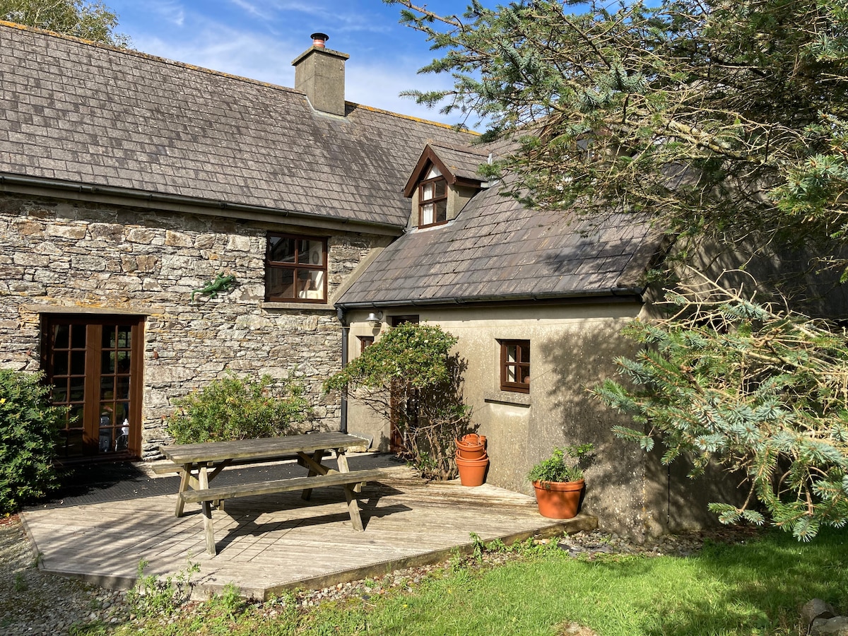 Enclosure in Boherascrub WestEnclosure · 695 yd
 Bawn of Kilmaclenine (in Ruins)House, fortified house · 918 yd
 Kilmaclenine CastleCastle · 966 yd
 Kilmaclenine Church (in Ruins)Church · 1260 yd
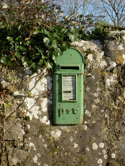 post boxpost box · 1.0 mi
 Lady's WellSpring · 1.4 mi
 Graveyard in Ballygiblin (duhallow By.)Graveyard · 3.5 mi
 Battle of LiscarrollMajor battlefield · 4.5 mi
 European YewEuropean Yew · 5.0 mi
 Burial ground in AssolasBurial ground · 5.2 mi
 St Fursey's WellSpring · 7.5 mi