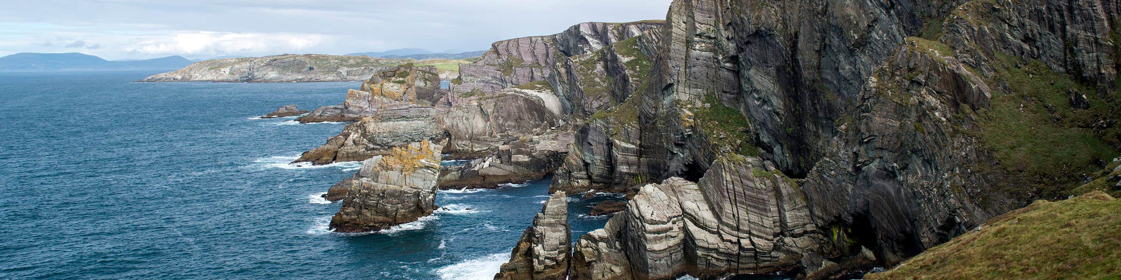
What is recorded here
Indicated is a circular earthwork in County Cork, Ireland, where a low ridge still marks the edge of a forgotten interior. The shape sits in pasture on a gentle slope, small enough to walk around in a minute yet large enough to have swallowed lives, arguments and seasons. It is the kind of place that does not announce itself, but returns whenever someone stops pretending the land has no memory.
In pasture, on gentle NNW-facing slope. Depicted as double broken line (c. 8m apart) enclosing circular area (diam. c. 35m) on 1842 OS 6-inch map. Circular area (34.5m N-S; 33m E-W) defined by low rise (ext. H 0.3m). Internal face of rise slopes gentle down towards interior.
The above description is derived from the published 'Archaeological Inventory of County Cork. Volume 4: North Cork' (Dublin: Stationery Office, 2000). In certain instances the entries have been revised and updated in the light of recent research.
Date of upload/revision: 14 January 2009
The monument record does not grant public access. Check the route and ask the landowner before entering private land.
- What survives
- Recorded monument
Places near here
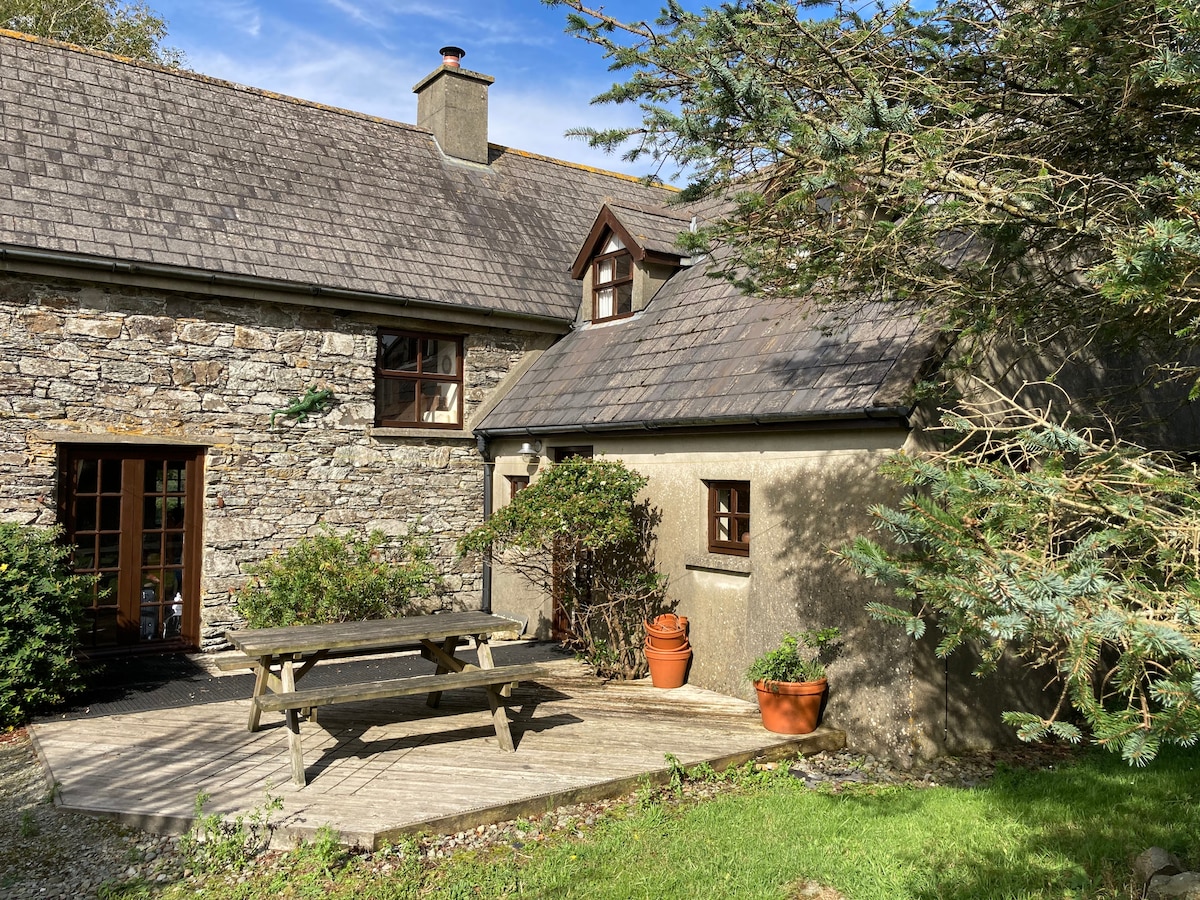 Enclosure in Boherascrub WestEnclosure · 528 yd
 Bawn of Kilmaclenine (in Ruins)House, fortified house · 583 yd
 Kilmaclenine CastleCastle · 654 yd
 Fulacht FiadhFulacht fia · 718 yd
 Kilmaclenine Church (in Ruins)Church · 952 yd
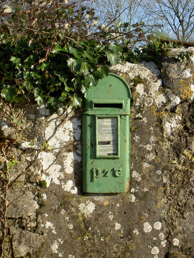 post boxpost box · 1.2 mi
 Lady's WellSpring · 1.5 mi
 Graveyard in Ballygiblin (duhallow By.)Graveyard · 3.6 mi
 Battle of LiscarrollMajor battlefield · 4.7 mi
 European YewEuropean Yew · 5.2 mi
 Burial ground in AssolasBurial ground · 5.4 mi
 St Fursey's WellSpring · 7.6 mi
Other information
Photo: Credit not shown in the picture search · Rights wording not checked; contact us if this picture should be removed