What is recorded here
Thirty metres southeast stands a second ringfort, suggesting a small cluster of dwellings rather than a lonely fairy trick. The main circle measures twenty-four and a half metres across, with two banks and a ditch that still hold their shape best at the northwest. A field boundary now cuts through the earth at the northeast and southwest, reminding us that human needs have always rearranged sacred or useful space. The southeast-facing slope catches morning light before the surrounding grassland, a gentle advantage for anyone choosing where to build.
On SE-facing slope of a hill in otherwise level grassland. Poorly preserved circular rath (D 24.5m) defined by two banks and an intervening fosse. The inner bank is present at SE and from W to N; elsewhere a scarp forms the enclosing element. The fosse and outer bank are best preserved at NW. A field boundary cuts the monument at NNE and SSW. A ringfort (GA015-025----) lies c. 30m to SE.
The above description is derived from the published 'Archaeological Inventory of County Galway Vol. II - North Galway'. Compiled by Olive Alcock, Kathy de hÓra and Paul Gosling (Dublin: Stationery Office, 1999).
Date of upload: 05 August 2010
The monument record does not grant public access. Check the route and ask the landowner before entering private land.
- What survives
- Recorded monument
Places near here
 RathbaunArchaeological place · 103 yd
 Site of FortFairy fort / earthen ringfort · 634 yd
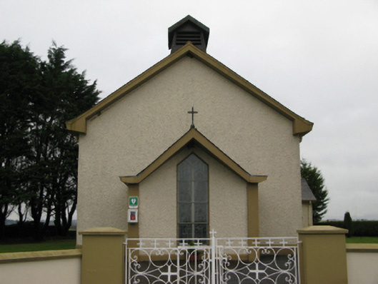 Saint Joseph's Catholic Churchchurch/chapel · 1690 yd
 Bawn in BlindwellBawn · 1.1 mi
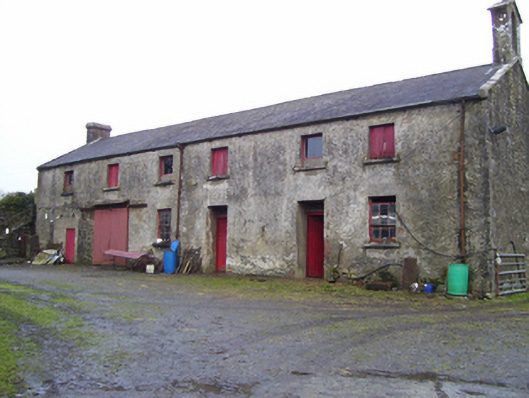 Blindwell Housefarmyard complex · 1.1 mi
 Castle in ruinsCastle, unclassified · 1.9 mi
 European YewEuropean Yew · 2.8 mi
 Pesooge PlantationForest · 5.1 mi
 Mass RockNamed rock · 5.6 mi
 Ross Errilly FriaryHeritage attraction · 9.7 mi
 Inis Mhic an TrírIsland · 12 mi
 Otter IslandIslet · 12 mi