What is recorded here
On high ground on SE-facing slope of rising poorly drained ground with good panoramic views to S and E. Now situated in large coniferous plantation poorly preserved monument consisting of a raised circular platform/mound (H 0.7m; diam. approx. 30m N-S; 17m E-W) defined by a scarp which has been quarried into on the downlsope destroying the S half of the mound. This quarry is indicated on the first ed. OS 6-inch map. Rest of interior has been planted with conifers and forestry drainage channels intersect the W side of the mound, no evidence of an enclosing fosse or bank. Imprerssive panoramic views of the surrounding countryside to S and E, land immediately around the mound was wet poorly drained land.
Compiled by: Jean Farrelly
Date of upload: 26 August 2011
A Neolithic circular earthwork or burial mound; date uncertain but likely early first millennium BCE. Its location suggests ritual or ceremonial significance, though its poor preservation limits archaeological interpretation.
The monument record does not grant public access. Check the route and ask the landowner before entering private land.
- What survives
- Recorded monument
Places near here
 IndicatedEnclosure · 1413 yd
 TobernakillaHoly well · 1.0 mi
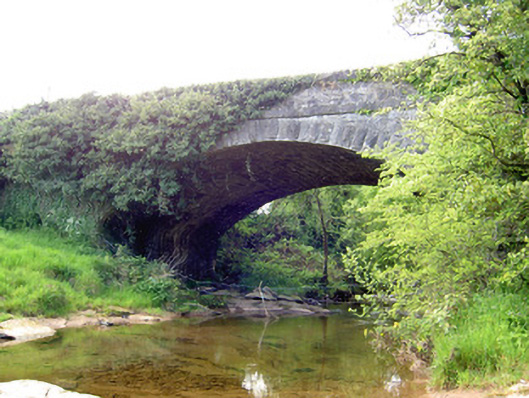 Carrow Bridgebridge · 1.0 mi
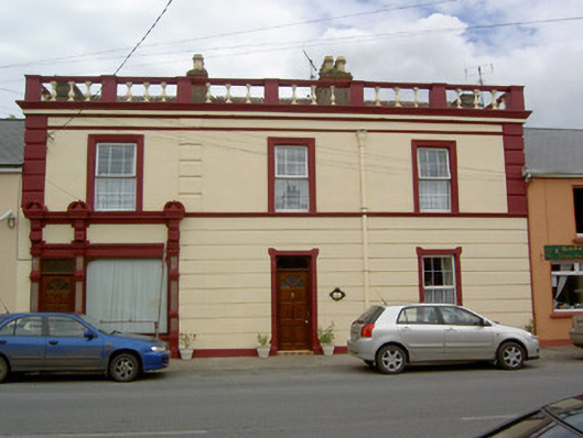 Tara Rosehouse · 1.5 mi
 Gortard WoodForest · 1.8 mi
 Wych ElmWych Elm · 1.8 mi
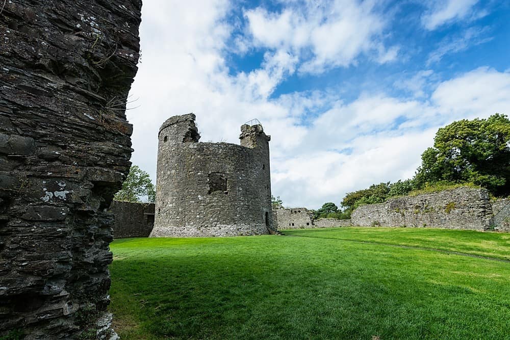 Site of CastleCastle, unclassified · 1.8 mi
 Ballagh CastleCastle · 1.8 mi
 Clonoulty HillMountain / peak · 3.5 mi
 Ring HillMountain / peak · 4.1 mi
 The Maid of ErinMemorial · 9.2 mi
 KilleenArchaeological place · 1.1 mi