What is recorded here
Grave Yard stands on a low ridge in County Clare, watching meadowland fall away on both sides. Its stone wall encloses flat slabs, box-tombs and a vault built for Henry Comerford, while the old church keeps the northern end. Burials from the 18th to 20th century crowd east, south and west of that church, suggesting one family or parish kept returning across generations. The place does not sound like a forgotten field; it sounds like a house that stopped receiving guests but never stopped remembering them.
Prominently sited on top of a low NE–SW ridge from which ground falls away gently across the road to NW and slightly more steeply away to S, in an area of good quality meadowland. Indicated and named ‘Grave Yard’ on the 1842 and 1915 eds. of the OS 6-inch maps.
A subrectangular area (c. 85m NE–SW; c. 60m NW-SE) enclosed by a modern mortared stone wall and containing 18th to 20th-century burial markers and a vault, midway along the W side. The burials occur E, S and W of a medieval church (CL002-014002-). Nineteenth-century box-tombs occur together with flat slabs and plain unworked stones, some of which are probably 18th century in date. The most recent burials, which include marble headstones, occur to the E of the church. The vault was built for Henry Comerford and was subsequently ascribed to the Comerford and Blake-Foster families (Swinfen 1992, 19).
The church (CL002-014002-) stands at the N end of the graveyard, a shell midden (CL002-014004-) lies just W of its W gable and all three monuments occur within an earlier ecclesiastical enclosure (CL002-014001-).
Compiled by: Mary Tunney
Date of upload: 30 September 2021
The monument record does not grant public access. Check the route and ask the landowner before entering private land.
- What survives
- Recorded monument
Places near here
 mausoleummausoleum · 45 yd
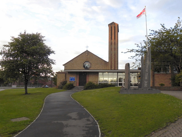 IndicatedEnclosure · 704 yd
 LisheenakirkaEnclosure · 1026 yd
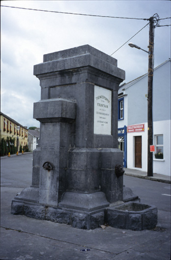 Ballyvaghan Fountainfountain · 1.1 mi
 Ballyvaghan Castle (in ruins)Castle, unclassified · 1.2 mi
 Moneen MountainMountain / peak · 1.2 mi
 Shanmuckinish CastleCastle, tower house · 1.4 mi
 Rine PointHeadland · 1.7 mi
 Muckinish PointHeadland · 1.9 mi
 Bird Of Prey CentreHeritage attraction · 2.4 mi
 Battle of Lough Raskabattle · 2.4 mi
 Aillwee CaveCave · 2.5 mi