
What is recorded here
Ballyvaghan Castle stood on a low promontory in County Clare from at least 1380 until it vanished entirely by the nineteenth century. O’Loughlins, O’Briens, O’Connors and Nugents seized it during border disputes, while Sir Henry Sidney attacked it in 1569. The castle left no visible walls behind, but large quay stones near the water hint that it once faced the bay rather than hiding inland.
On a low small, level promontory projecting W into the S neck of Ballyvaghan Bay. Indicated on the 1842 ed. of the OS 6-inch map and named ‘Ballyvaghan Castle (site of)’ on both it and the 1915 ed. Listed as ‘Castle’ in the SMR (1992) and the RMP (1996). The castle is listed in the O’Brien rental of 1380 and was initially an O’Loughlin possession (Ua Croinin and Breen 1996), but it passed to the O’Brien’s after a dispute over cattle in 1540. It was reduced by the Queen’s Deputy, Sir Henry Sidney, in 1569 and after that, passed between the O’Loughlins, O’Connors, O’Briens and Nugents (ibid.). It was still in existence at least as late as 1646, when it was granted to Christopher O’Brien, but by 1837 only remained as ‘some old vestiges’ (ibid.).
There are no visible remains of the castle. Several large quay stones (total L 5m) 6m W of the promontory may be the remains of a pier or may be part of seaward fortifications associated with the castle.
Westropp (1901, 278) described the site of a ‘peel tower’ which once adjoined a great ‘caher’. There are remains of a large cashel (CL002-053----) which fits his description, but these lie c. 150m NNE. It was in any case already ‘entirely perished’ (ibid.) by his time.
The following has been uploaded:
CL002-051----_01.jpg Details from Risteárd Ua Cróinín and Martin Breen, The Castles and Tower-houses of Co. Clare (unpublished report). Uploaded courtesy of R. Ua Cróinín and M. Breen.
Compiled by: Mary Tunney and Ros Ó Maoldúin
Date of upload: 9 December 2020
Ballyvaghan Castle was built in the 17th century by the Blake family, who were prominent in the area during the post-Tudor plantation period. It is remembered as a symbol of local gentry influence and as an example of early modern defensive architecture in the region.
This remains an important historical record, but the official description says the monument is no longer visible or has been destroyed. The monument record does not grant public access. Check the route and ask the landowner before entering private land.
- What survives
- No visible remains or recorded as destroyed
Places near here
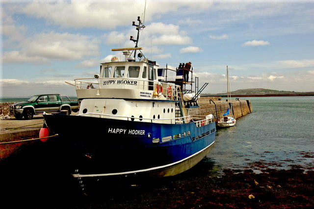 Ballyvaghan QuayQuay · 172 yd
 Ballyvaghan CaherFairy fort / stone ringfort · 256 yd
 J.M. Mooney and Sonshouse · 378 yd
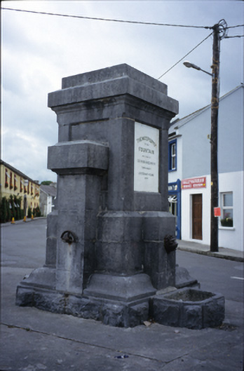 Ballyvaghan Fountainfountain · 396 yd
 Rine PointHeadland · 1742 yd
 Newtown CastleCastle, tower house · 1.3 mi
 CappanawallaMountain / peak · 1.9 mi
 Bird Of Prey CentreHeritage attraction · 1.9 mi
 Aillwee CaveCave · 2.1 mi
 Moneen MountainMountain / peak · 2.2 mi
 Shanmuckinish CastleCastle, tower house · 2.5 mi
 Muckinish PointHeadland · 2.9 mi
Other information
Photo: Credit not shown in the picture search · Rights wording not checked; contact us if this picture should be removed