What is recorded here
Situated on a NW-facing slope overlooking Ballyvaughan Bay with good views all around although some tree cover obscures the view to the SW. Hachured on the 1842 and 1915 OS 6-inch maps and named ‘Ballyvaghan Caher’. Listed as 'Enclosure' in the SMR (1992) and the RMP (1996). Westropp (1901, 278-9) described ‘the remains of a … large fort of earth and stones, called a caher, lied near the pier of this little village. The “caher” is a half-moon bank of earth and large blocks, with a few bushes growing upon it, resting on the drift without foundations; much was cut away by the sea before the present road and quay wall were made. The peel tower of Ballyvaughan adjoined it, but has entirely perished. The mounds extend for about 620 feet, and enclose a space about 430 feet long and 280 feet deep; they are 12 feet thick and 5 feet or 6 feet high. The sea at this point has evidently made considerable inroads on the shore…’.
This is a subrectangular area (c. 130m NE-SW; 80m NW-SE) defined at NE by a broad low scarp topped at W by a later field boundary, at SE by a bank of earth and stone (int. H 1.36m; Wth 5.9m; ext. H 1.32m) and at SW by a very low broad rise (Wth c. 10m). A modern road defines the NW side and the road construction may have cut across this portion of the monument. The bank is best preserved along the SE where an old laneway runs parallel. Some large boulders survive (c. 0.4m x 0.4m) but there is no discernible stone facing. A modern entrance towards the E end of the SE side may be on the site of an original entrance. The monument has been somewhat disturbed in this area and there is some cement visible on top of the bank. Large trees grow along the SE bank. The very low rise at SW is enhanced by differentiated growth in well-maintained short grass. The landowner pointed out a slight hollow in the E sector of the interior however no diagnostic defining features were evident. The interior is in long grass and weeds and is uneven due to livestock trampling the soft ground.
The following images have been uploaded:
CL002-053----_01.jpg View to NW from monument.
CL002-053----_02.jpg Existing bank profile at SE.
CL002-053----_03.jpg Very low remains of bank at SW.
This monument is subject to a preservation order made under the National Monuments Acts 1930 to 2014 (PO no. 3/1973).
Compiled by: Mary Tunney
Date of upload: 11 November 2019
Ballyvaghan Caher is a ringfort located in Ballyvaughan, likely dating to the early medieval period, and is associated with local folklore surrounding fairies and other supernatural beings. It is traditionally regarded as a dwelling place of the "good people" and was once hachured on early Ordnance Survey maps.
The monument record does not grant public access. Check the route and ask the landowner before entering private land.
- What survives
- Recorded monument
Places near here
 Ballyvaghan Castle (in ruins)Castle, unclassified · 256 yd
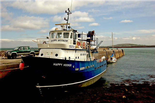 Ballyvaghan QuayQuay · 346 yd
 Ballyvaghan FortsFairy fort / stone ringfort · 429 yd
 J.M. Mooney and Sonshouse · 534 yd
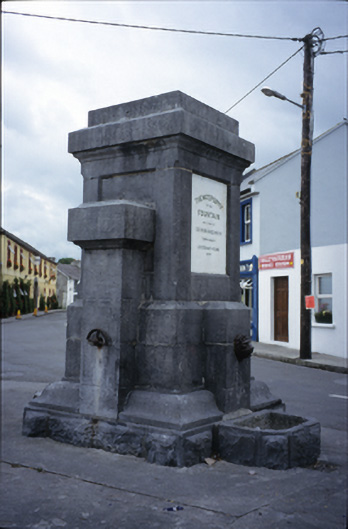 Ballyvaghan Fountainfountain · 539 yd
 Rine PointHeadland · 1677 yd
 Newtown CastleCastle, tower house · 1.4 mi
 Bird Of Prey CentreHeritage attraction · 2.0 mi
 CappanawallaMountain / peak · 2.0 mi
 Moneen MountainMountain / peak · 2.1 mi
 Aillwee CaveCave · 2.2 mi
 Muckinish PointHeadland · 2.8 mi
Other information
Photo: Credit not shown in the picture search · Rights wording not checked; contact us if this picture should be removed