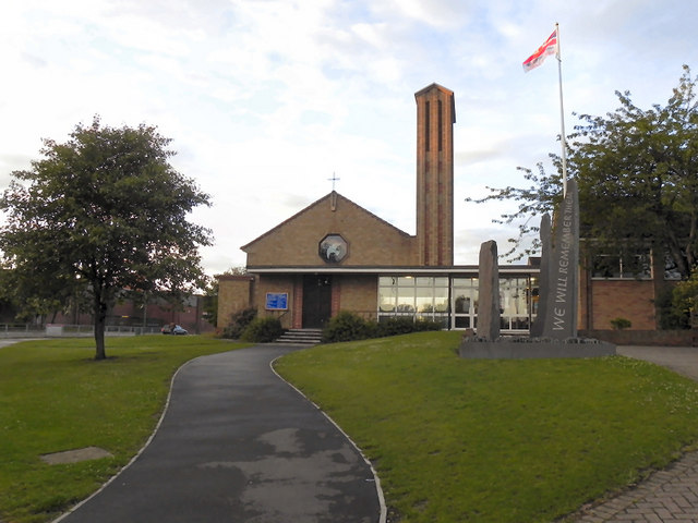
What is recorded here
Situated in good grazing 6m E of foreshore. A circular enclosure (int. dims. 10m E–W; 9.6m N–S) defined by a flat-topped and grassed-over stony bank with inner and outer facing- stones visible at ENE (Wth 1.6m). A later E–W field wall runs along the bank at S. The trace of a larger enclosure (CL002-013----) is located c. 180m to the SSE.
Compiled by: Mary Tunney and Ros Ó Maoldúin
Date of upload: 25 November 2020
A local fairy fort (ringfort/rath); wider significance not recorded.
The monument record does not grant public access. Check the route and ask the landowner before entering private land.
- What survives
- Recorded monument
Places near here
 mausoleummausoleum · 675 yd
 Enclosure in Muckinish WestEnclosure · 777 yd
 LisheenakirkaEnclosure · 1711 yd
 Ballyvaghan Castle (in ruins)Castle, unclassified · 1.1 mi
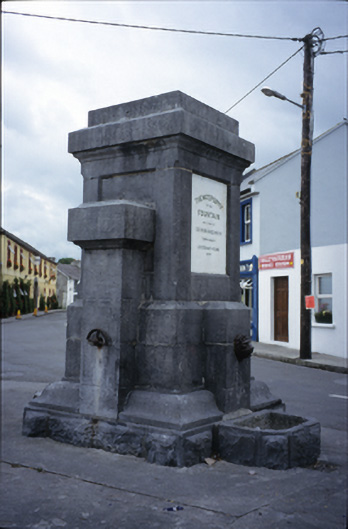 Ballyvaghan Fountainfountain · 1.2 mi
 Shanmuckinish CastleCastle, tower house · 1.3 mi
 Rine PointHeadland · 1.4 mi
 Moneen MountainMountain / peak · 1.5 mi
 Muckinish PointHeadland · 1.8 mi
 Battle of Lough Raskabattle · 2.6 mi
 Saint Patrick's ChurchHeritage attraction · 2.7 mi
 Bird Of Prey CentreHeritage attraction · 2.7 mi
Other information
Photo: Credit not shown in the picture search · Rights wording not checked; contact us if this picture should be removed