
What is recorded here
In good quality pasture and meadowland on a gentle E-facing slope. Hachured and named ‘Lisheenakirka’ on the 1842 and 1915 eds. of the OS 6-inch maps and named ‘Lisín na Circe’ on Robinson’s (1977) map. A small poorly preserved, oval enclosure (15.9m E–W; 10.8m N–S crest to crest) defined by a low round-topped earthen bank (Wth at base 2.7–7.2m; H 0.1–1.1m) with no obvious trace of an outer fosse or entrance.
Compiled by: Mary Tunney and Ros Ó Maoldúin
Date of upload: 9 December 2020
Lisheenakirka is a small, poorly preserved ringfort located in the Burren area, likely dating to the early medieval period. Its name, meaning "little fort of Circe," suggests a possible folkloric association with the mythical sorceress Circe from classical tradition, though local folklore may have adapted this name over time.
The monument record does not grant public access. Check the route and ask the landowner before entering private land.
- What survives
- Recorded monument
Places near here
 IndicatedEnclosure · 380 yd
 mausoleummausoleum · 1045 yd
 Enclosure in KilloghilEnclosure · 1292 yd
 Moneen MountainMountain / peak · 1757 yd
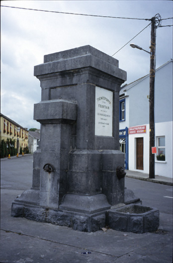 Ballyvaghan Fountainfountain · 1.1 mi
 Ballyvaghan Castle (in ruins)Castle, unclassified · 1.3 mi
 Shanmuckinish CastleCastle, tower house · 1.9 mi
 Bird Of Prey CentreHeritage attraction · 1.9 mi
 Aillwee CaveCave · 2.0 mi
 Rine PointHeadland · 2.0 mi
 Muckinish PointHeadland · 2.3 mi
 CappanawallaMountain / peak · 3.2 mi
Other information
Photo: Credit not shown in the picture search · Rights wording not checked; contact us if this picture should be removed