
What is recorded here
In a slight fold of a high undulating landscape, and known locally as the village. Amongst the fields of the field system (RO045-062001-) are the foundations of at least three rectangular house sites defined by the foundations of earth and stone walls (Wth 0.9-1.2m; H 0.3m). This house (int. dims 6.9m N-S; 3.4m E-W) is defined by wall footings with the N side of a doorway visible on the E wall.
Compiled by: Michael Moore
Date of upload: 24 August 2010
The monument record does not grant public access. Check the route and ask the landowner before entering private land.
- What survives
- Recorded monument
Places near here
 IndicatedFairy fort / earthen ringfort · 1031 yd
 Kilcommon ChurchChurch · 1432 yd
 Fairy fort / stone ringfort in Carrownamaddy (athlone South By.),knockanyconorFairy fort / stone ringfort · 1451 yd
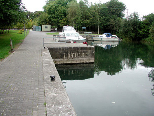 harbour/dock/portharbour/dock/port · 1719 yd
 Carrownure BayBay · 1.6 mi
 Blackbrink BayBay · 1.8 mi
 Rindown CastleCastle, Anglo-Norman masonry castle · 1.9 mi
 St. John's WoodWood · 2.0 mi
 RindoonWood · 2.0 mi
 Black IslandsIslet · 2.8 mi
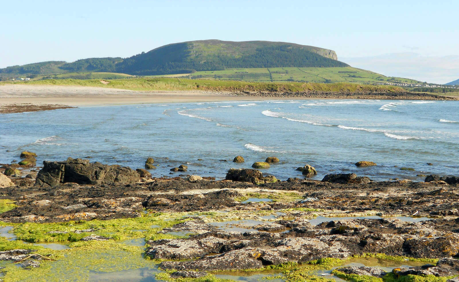 Brearoge IslandsIslet · 2.8 mi
 CastleCastle, tower house · 3.0 mi
Other information
Photo: Credit not shown in the picture search · Rights wording not checked; contact us if this picture should be removed