
What is recorded here
Marked only on the 1915 ed. of the OS 6-inch map as a circular enclosure (diam. c. 55m) truncated slightly by a NW-SE field bank and townland boundary with Knockanyconor at SW, and visible as a D-shaped vegetation mark (int. diam. c. 30m NW-SE) defined by three fosses (max. ext. diam. c. 70m NW-SE) and truncated at SW by a NW-SE field bank on aerial photographs (GSIAP: M222-3). Situated on the N-facing slope of a NE-SW ridge, it is not visible at ground level in reclaimed pasture.
Compiled by: Michael Moore
Date of upload: 24 August 2010
The monument record does not grant public access. Check the route and ask the landowner before entering private land.
- What survives
- Recorded monument
Places near here
 Fairy fort / stone ringfort in Carrownamaddy (athlone South By.),knockanyconorFairy fort / stone ringfort · 615 yd
 St. Johns WellHoly well · 1518 yd
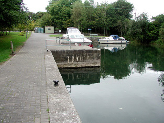 harbour/dock/portharbour/dock/port · 1663 yd
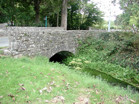 Historic buildingOfficially recorded historic building · 1.0 mi
 Blackbrink BayBay · 1.2 mi
 Carrownure BayBay · 1.4 mi
 St. John's WoodWood · 1.4 mi
 Rindown CastleCastle, Anglo-Norman masonry castle · 1.6 mi
 RindoonWood · 1.7 mi
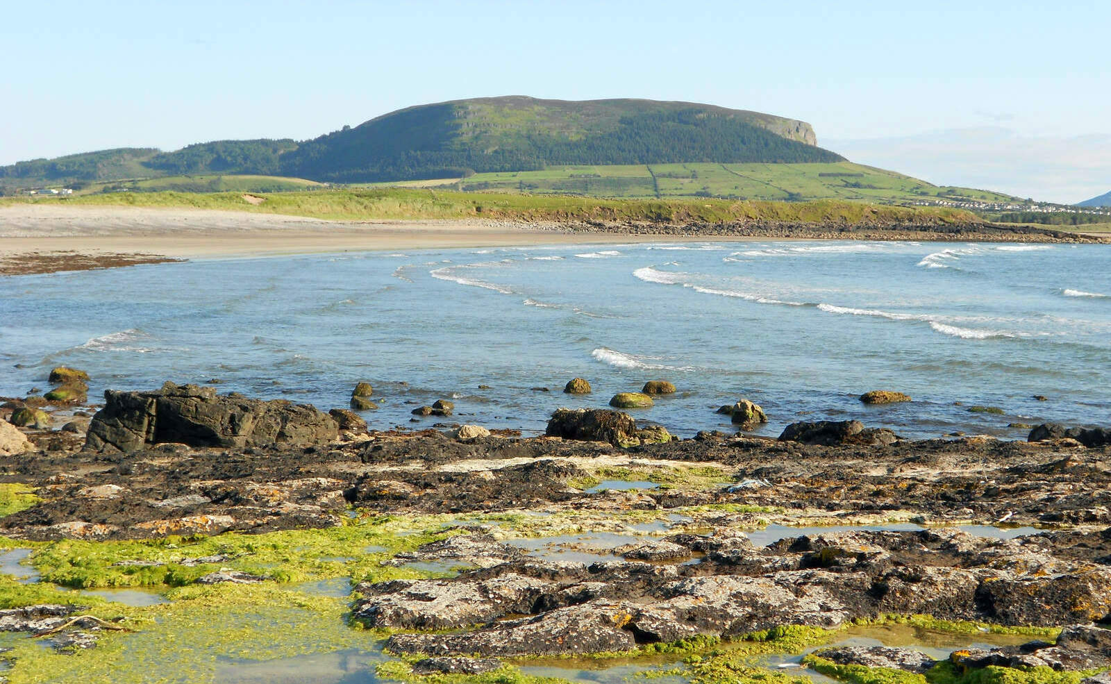 Brearoge IslandsIslet · 2.5 mi
 Horse IslandIslet · 2.5 mi
 Galey CastleCastle, tower house · 2.9 mi
Other information
Photo: Credit not shown in the picture search · Rights wording not checked; contact us if this picture should be removed