What is recorded here
Beyle More preserves seven acres of rounded rectangular fields and narrow passages, visible only when satellite imagery reveals faint cropmarks on a shallow slope. The ditches extend beside rather than into the local rath, suggesting a separate domestic or farming arrangement. Anthony Murphy first identified the pattern, while Michael Moore later compiled the visual evidence. The absence of houses keeps the purpose uncertain, but the regular shape implies people who valued order enough to repeat it across an entire field.
Located on a slight N-facing slope, and these features are only visible on Google Earth (21/07/2021). The cropmark ditches of fields extend off to the N of rath (ME020-096----), although not actually connected with it. The ditches cover an area of about 7 acres (c. 3 ha) and form rectangular fields (dims c. 35m x c. 40m) with rounded corners. There are some narrow passages or roads (Wth c. 5-10m) between some of the fields but no houses or structures can be distinguished. It was first reported by Anthony Murphy.
See the attached enhanced view from Google Earth (21/07/2021)
Compiled by: Michael Moore
Date of upload: 31 August 2021
The monument record does not grant public access. Check the route and ask the landowner before entering private land.
- What survives
- Recorded monument
Places near here
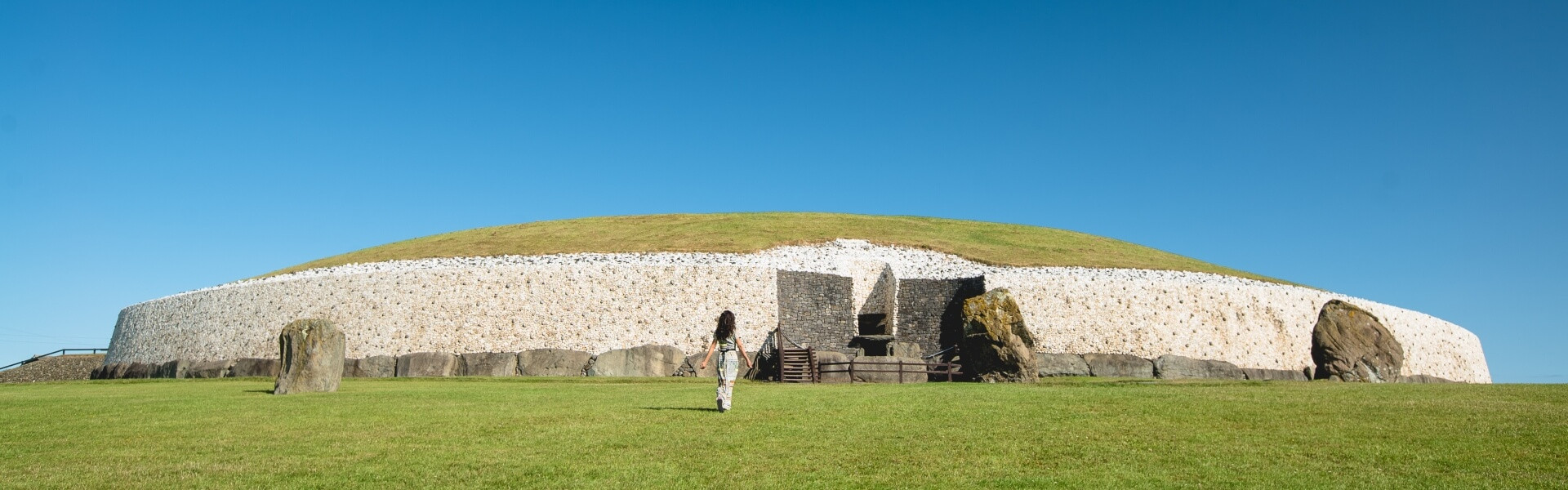 Enclosure in Bey MoreEnclosure · 396 yd
 BeaubecArchaeological place · 643 yd
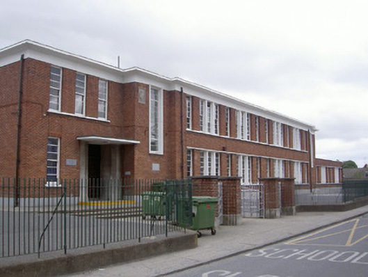 Saint Mary's National Schoolschool · 1.2 mi
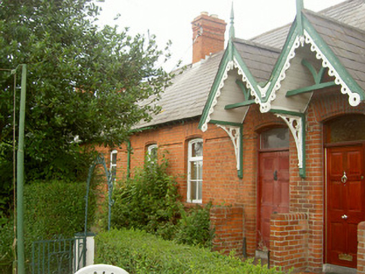 worker's houseworker's house · 1.2 mi
 Millmount MuseumMuseum · 1.3 mi
 Newgrange Business ParkMemorial · 1.4 mi
 Siege of Droghedasiege · 1.5 mi
 The ThoselMemorial · 1.6 mi
 Platin HouseCastle, unclassified · 1.8 mi
 Yellow IslandIslet · 2.8 mi
 Grove IslandIslet · 3.2 mi
 Glenmore ForestWood · 3.2 mi