
What is recorded here
Belan Church and graveyard sit beside a faint 150m circular shadow in the Kildare field, perhaps an old ecclesiastical enclosure with three ditches. The land has kept that shape through rain, plough and forgetfulness, while people came and went above it. What was kept inside may have been prayer, provision or simply the boundary between the sacred and the ordinary.
Cropmark of possible trivallate ecclesiastical enclosure (approx. diam. 150m) to N of Belan Church (KD038-001----) and graveyard (KD038-001001-) visible on Google earth aerial imagery.
See attached image taken from Google Earth aerial photographs taken 25/06/2018
Compiled by: Caimin O'Brien based on details provided by Jean-Charles Caillère
Date of upload: 28 May 2019
The monument record does not grant public access. Check the route and ask the landowner before entering private land.
- What survives
- Recorded monument
Places near here
 Church (Site of)Church · 93 yd
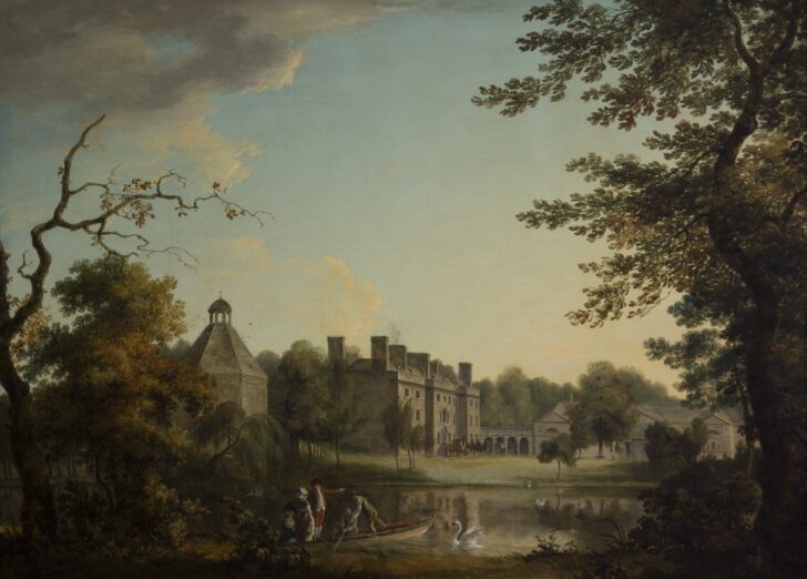 Belan HouseCastle, unclassified · 270 yd
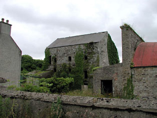 Belan Millmill (water) · 507 yd
 St Patricks WellHoly well · 658 yd
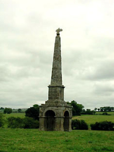 obeliskobelisk · 1195 yd
 Bolton CastleCastle, tower house · 1.3 mi
 Moone Fox CovertForest · 1.5 mi
 Mullaghreelan WoodForest · 1.8 mi
 Lorcán Ó TuathailMemorial · 2.2 mi
 Castledermot Round TowerHeritage attraction · 3.6 mi
 ProclamationMemorial · 3.6 mi
 Franciscan FriaryHeritage attraction · 3.7 mi
Other information
Photo: Credit not shown in the picture search · Rights wording not checked; contact us if this picture should be removed