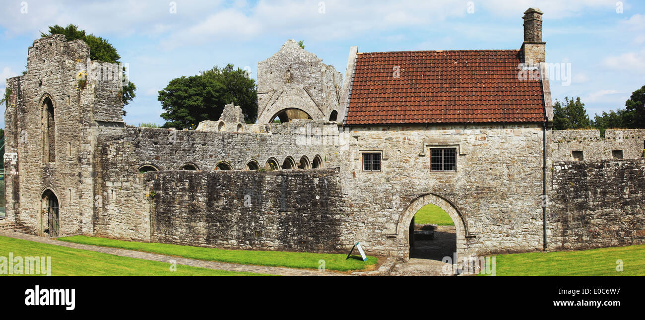
What is recorded here
Indicated is a fairy fort or earthen ringfort in Behy (boyle By., Ballyformoyle Ed), County Roscommon, Ireland. The circular grass-covered platform measures 33.5m north-south and 32m east-west, with a 0.6-0.8m scarp on the east, south and northwest sides and a field bank elsewhere. It sits toward the bottom of the south-facing drumlin slope, has no visible fosse or entrance, and appears faintly as a 40m circular enclosure on the 1837 Ordnance Survey map. Rath lies about 120m to the southeast.
Marked faintly as a circular enclosure (diam. c. 40m) on the 1837 ed. of the OS 6-inch map and situated toward the bottom of the S-facing slope of a drumlin. Circular grass-covered but poached platform (diam. 33.5m N-S; 32m E-W) defined by a scarp (H 0.6-0.8m) E-S-NW, and a field bank elsewhere. There is no visible fosse or entrance. Rath (RO004-042----) is c. 120m to the SE.
Compiled by: Michael Moore
Date of upload: 24 August 2010
The monument record does not grant public access. Check the route and ask the landowner before entering private land.
- What survives
- Recorded monument
Places near here
 Ecclesiastical enclosure in KnockadaffEcclesiastical enclosure · 1.1 mi
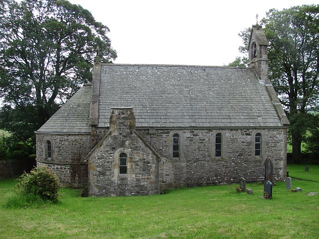 Killeenan Church (Site of)Church · 1.1 mi
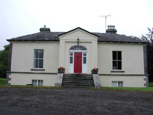 Riversdale Housecountry house · 1.4 mi
 Knockvicar BridgeOfficially recorded historic building · 1.5 mi
 Errironagh WoodForest · 2.4 mi
 Lahan IslandIslet · 2.5 mi
 Knockranny WoodsForest · 2.6 mi
 Turlough O'CarolanMemorial · 2.9 mi
 Ash IslandsIslet · 2.9 mi
 Longford HillMountain / peak · 3.1 mi
 Battle of Áth an Chipbattle · 3.8 mi
 Lough Key Forest ParkWood · 3.9 mi
Other information
Photo: Credit not shown in the picture search · Rights wording not checked; contact us if this picture should be removed