What is recorded here
Indicated, Behernagh stands as the stumpe of a castle on high upland ground in County Offaly, its circular tower fragment still touching the sky after centuries of loss. The Down Survey maps of 1654-7 named that remaining shape, suggesting a bawn once surrounded it before the earth and forgetfulness took the rest. Perch on the broken stone at dusk and imagine the guard who last watched the valley from that height, not as a hero but as a person doing an ordinary job at the edge of a disappearing world.
Located on top of high ground in upland area. Only a fragment of a circular tower possibly a corner tower of the bawn survives. No other features visible. Marked on Down Survey maps of 1654-7 as the 'stumpe of a castle' (NLI, MS 716).
The above description is derived from the published 'Archaeological Inventory of County Offaly' (Dublin: Stationery Office, 1997). In certain instances the entries have been revised and updated in the light of recent research.
Date of upload: 23 May 2011
The monument record does not grant public access. Check the route and ask the landowner before entering private land.
- What survives
- Recorded monument
Places near here
 Bawn in BehernaghBawn · 4 yd
 IndicatedEcclesiastical enclosure · 908 yd
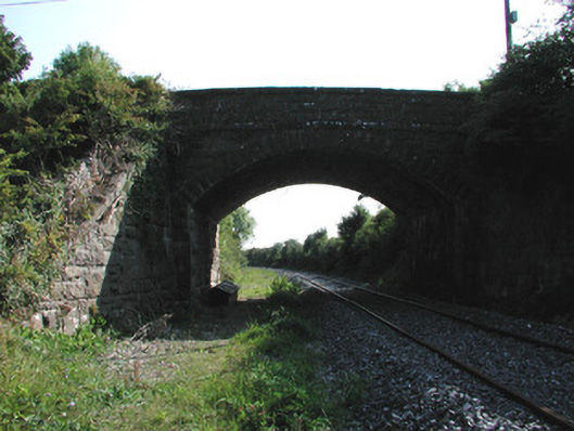 bridgebridge · 1757 yd
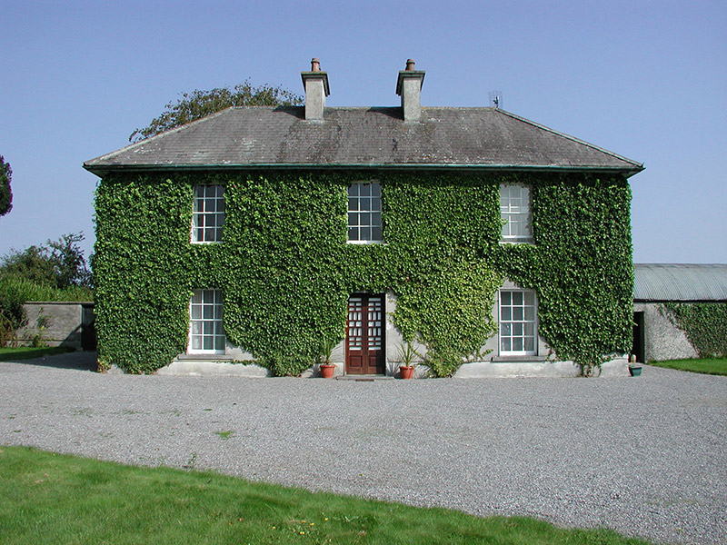 Rockford Housefarm house · 1.1 mi
 Man-made underground passage in CorraclevinMan-made underground passage · 1.4 mi
 CastleCastle, ringwork · 1.7 mi
 Thomas MacDonagh Heritage CentreMuseum · 2.3 mi
 MacDonagh HouseMemorial · 2.3 mi
 Knockanacree WoodForest · 2.5 mi
 Cangort WoodWood · 2.9 mi
 James Devaney MemorialMemorial · 7.1 mi
 Interragh HillMountain / peak · 9.2 mi