
What is recorded here
On a high ridge in County Offaly, a flat-topped burial mound rises four and a half metres above the upland, its broad base stretching sixteen metres across. Large stones still protrude from its face like broken teeth, marking the place where death and memory collided. The absence of a surrounding ditch suggests openness rather than defense, inviting the living to approach the dead without barrier.
On top of a high ridge running NE-SW in upland area. Large circular flat topped mound (H 4.5m; top diam. 4m; base diam. 16m) with several large stones protruding from the face of the mound. No evidence of a fosse or enclosing bank.
The above description is derived from the published 'Archaeological Inventory of County Offaly' (Dublin: Stationery Office, 1997). In certain instances the entries have been revised and updated in the light of recent research.
Date of upload: 23 May 2011
Neolithic burial mound, dating to approximately 4000–2500 BCE. It represents an early form of ceremonial and funerary architecture, reflecting the social and religious practices of Neolithic communities in upland landscapes.
The monument record does not grant public access. Check the route and ask the landowner before entering private land.
- What survives
- Recorded monument
Places near here
 BarrowBarrow, bowl-barrow · 578 yd
 Enclosure in BeaghEnclosure · 1264 yd
 Church in Ruins, GlebeChurch · 1723 yd
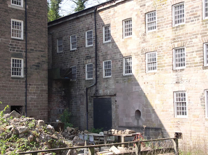 MillMill, unclassified · 1.0 mi
 Ballybritt CastleCastle, tower house · 1.7 mi
 Court in RuinsHouse, fortified house · 1.9 mi
 FarbreagueMountain / peak · 1.9 mi
 Drummin HillMountain / peak · 2.5 mi
 Leap CastleCastle · 2.8 mi
 Grange WoodWood · 2.9 mi
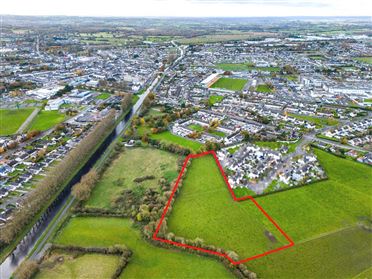 Ballywilliam WoodWood · 3.3 mi
 Millennium GardenMemorial · 3.9 mi
Other information
Photo: Credit not shown in the picture search · Rights wording not checked; contact us if this picture should be removed