What is recorded here
On reclaimed land rising gently from the valley bottom. Indicated on the 1st (1839) ed. OS 6-inch map as a roughly oval enclosure (c. 43m NW-SE; c. 32m NE-SW), though the S side appears to be straight (L. c. 25m). On the 1900 ed. only the S arc (dims. c. 47m E-W; chord 18m N-S) of the enclosure is depicted. The enclosure is not visible at ground level. It is bisected by a field boundary running ESE-WNW.
Compiled by: Jean Farrelly
Date of upload: 2 October 2017
The monument record does not grant public access. Check the route and ask the landowner before entering private land.
- What survives
- Recorded monument
Places near here
 Castle PierceHouse, fortified house · 770 yd
 Enclosure in BayswellEnclosure · 792 yd
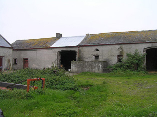 Bayswell Housefarmyard complex · 839 yd
 Crucifixion plaque in BayswellCrucifixion plaque · 841 yd
 Church (in ruins)Church · 1.3 mi
 IndicatedCastle, ringwork · 1.3 mi
 Cnoc SeanrathaMemorial · 2.0 mi
 Tullow HillMountain / peak · 3.6 mi
 DelaneyMemorial · 3.8 mi
 Clonmeen WoodWood · 4.1 mi
 Street fieldArchaeological place · 4.7 mi
 Clomantagh HillMountain / peak · 5.8 mi