What is recorded here
In flat wet terrain with a stream running NW-SE along the W side of the enclosure. Identified on Geological Survey of Ireland aerial photograph (roll 43, print 12) as a circular cropmark (diam. c. 24m). The field has been reclaimed. Not visible at ground level.
Compiled by: Jean Farrelly
Date of upload: 4 October 2017
The monument record does not grant public access. Check the route and ask the landowner before entering private land.
- What survives
- Recorded monument
Places near here
 Ladys WellHoly well · 298 yd
 Crucifixion plaque in BayswellCrucifixion plaque · 311 yd
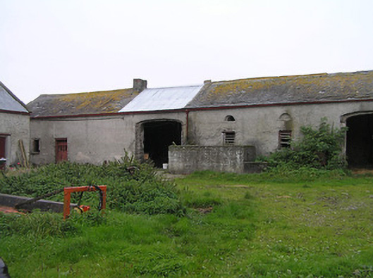 Bayswell Housefarmyard complex · 366 yd
 Saint Michael's Catholic Churchchurch/chapel · 1308 yd
 Castle PierceHouse, fortified house · 1.0 mi
 IndicatedCastle, ringwork · 1.1 mi
 Cnoc SeanrathaMemorial · 1.7 mi
 DelaneyMemorial · 3.2 mi
 Street fieldArchaeological place · 4.2 mi
 Tullow HillMountain / peak · 4.2 mi
 Clonmeen WoodWood · 4.6 mi
 Clomantagh HillMountain / peak · 5.2 mi