What is recorded here
Indicated is a roughly circular ecclesiastical enclosure on a south-facing slope below the River Lee in County Cork, marked by a buried earthen bank, a collapsed stone wall, a central graveyard and an underground passage. It belongs to the old parish of Cannaway and still carries the shadow of St Brendan, though that connection is tenuous. The place is not grand, but it is complete: a road cuts through it, rock outcrops break the pasture, and the graveyard sits immediately north of the road like the heart of the whole arrangement.
On S-facing slope, to S of River Lee. Roughly-circular area (c. 210m N-S; c. 280m E-W) enclosed E->SW by earthen field fence built atop remains of earlier earthen bank (H 1.4m); from SW->NE by partially collapsed roughly coursed stone wall (H 1m; Wth 0.8m), in places built atop rock outcrop; roadway skirts site from NE->E. Interior bisected by roadway running roughly NE-SW; land NW of road is mixture of pasture and rock outcropping with copse of trees in NE quadrant; land SE of road is pasture. Interior slopes down from N to S. Within enclosure, almost in a central position and immediately N of road, is rectangular graveyard (CO071-108002-), enclosing site of ancient parish church of Cannaway and of C of I church. Man-made underground passage (CO071-108006-) recorded in SW quandrant of enclosure and cross-inscribed stone (CO071-108005-) found in NW quadrant of graveyard. Bullaun stone (9217) found c. 90m W of enclosure. Hurley and O'Flaherty (1981, 58-9) noted that, although Bawnatemple is clearly an early ecclesiastical site, the earliest unequivocal reference to it is in decretal letter of Innocent III 1199. Traditionally site associated with St Brendan the Navigator, though according to Hurley and O'Flaherty (ibid.) this is 'extremely tenuous'.
The above description is derived from the published 'Archaeological Inventory of County Cork. Volume 3: Mid Cork' (Dublin: Stationery Office, 1997). In certain instances the entries have been revised and updated in the light of recent research.
Date of upload/revision: 14 January 2009
The monument record does not grant public access. Check the route and ask the landowner before entering private land.
- What survives
- Recorded monument
Places near here
 Church (Site of)Church · 19 yd
 Grave YardGraveyard · 62 yd
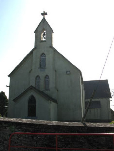 St John the Baptist Roman Catholic Churchchurch/chapel · 1284 yd
 Carrigadrohid Hydro Electric Power Stationdam/reservoir/basin · 1352 yd
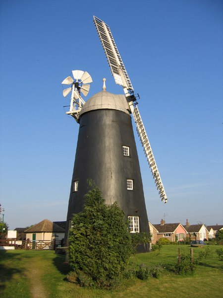 Steven's WoodWood · 1.2 mi
 Carrigadrohid Castle (in Ruins)Castle, tower house · 1.3 mi
 Carrigadrohid CastleHeritage attraction · 1.3 mi
 Carrigadrohid Castle InfoVisitor information · 1.3 mi
 Mashanaglass Castle (in Ruins)Castle, tower house · 1.8 mi
 Leap WoodWood · 1.9 mi
 Priest MemorialMemorial · 2.9 mi
 Independence MuseumMuseum · 3.1 mi