What is recorded here
Milton Bay watched the church fall because the people stopped arriving. The tower disappeared before the walls, leaving a shallow tray of stones that still points toward the sea. What is missing is not a loss but a shape of attention. The tray holds the last form the village gave up.
In the NW corner of the graveyard (CO071-108002-) is the site of a C of I parish church, built in 1814 (Brady 1863, vol. 1, 58) and described by Lewis (1837, vol. 1, 248) as a 'plain building with a lofty square tower'; in ruins by 1900 and demolished in 1930s (Hartnett 1939, 143); small pile of rubble all that now remains.
The above description is derived from the published 'Archaeological Inventory of County Cork. Volume 3: Mid Cork' (Dublin: Stationery Office, 1997). In certain instances the entries have been revised and updated in the light of recent research.
Date of upload/revision: 14 January 2009
The monument record does not grant public access. Check the route and ask the landowner before entering private land.
- What survives
- Recorded monument
Places near here
 Church (Site of)Church · 19 yd
 Grave YardGraveyard · 92 yd
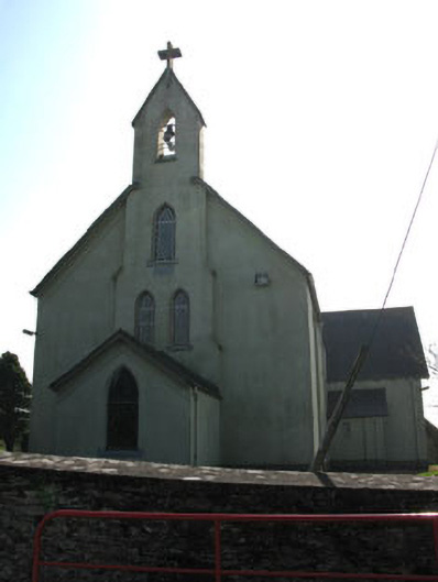 St John the Baptist Roman Catholic Churchchurch/chapel · 1309 yd
 Carrigadrohid Hydro Electric Power Stationdam/reservoir/basin · 1352 yd
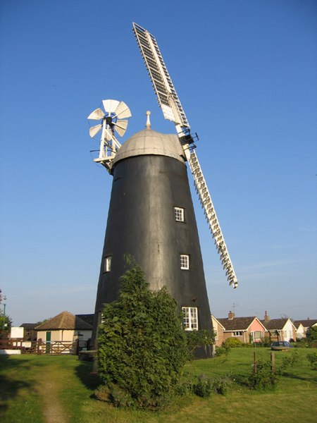 Steven's WoodWood · 1.2 mi
 Carrigadrohid Castle (in Ruins)Castle, tower house · 1.3 mi
 Carrigadrohid CastleHeritage attraction · 1.3 mi
 Carrigadrohid Castle InfoVisitor information · 1.3 mi
 Mashanaglass Castle (in Ruins)Castle, tower house · 1.8 mi
 Leap WoodWood · 1.9 mi
 Priest MemorialMemorial · 2.9 mi
 Independence MuseumMuseum · 3.1 mi