What is recorded here
Kilberry bawn: rectangular enclosure, 50 by 40 metres, beside a ruined castle in County Kildare. Nothing shows on the land now, only a crop shadow in a 1971 aerial photograph. The castle may have formed one edge of the bawn, a working yard or defended space for the people who lived there.
On a slight rise in tillage. Visible on a 1971 aerial photograph (CUCAP BGH 61) as the cropmark of the fosse, or the levelled wall footings of a rectangular enclosure (est. dims c. 50m N-S c. 40m E-W) to the W and N of a ruined castle (KD030-004001-), which itself forms part of the E limits of the possible bawn. No visible surface trace survives.
Compiled by: Gearóid Conroy
Date of upload: 18 September 2013
The monument record does not grant public access. Check the route and ask the landowner before entering private land.
- What survives
- Recorded monument
Places near here
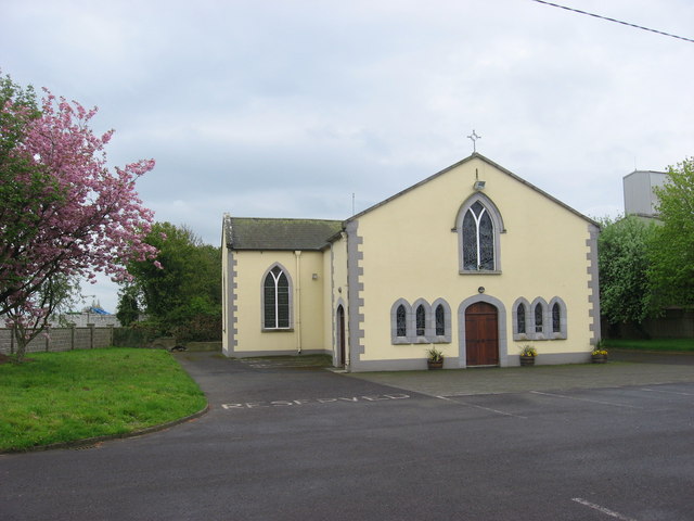 St. Bairys Church (in Ruins)Church · 325 yd
 IndicatedBawn · 395 yd
 Kilberry Churchchurch/chapel · 809 yd
 Reban CastleCastle, Anglo-Norman masonry castle · 1215 yd
 Enclosure in Castlereban NorthEnclosure · 1.2 mi
 Enclosure in Milltown (athy Rural Ed)Enclosure · 1.3 mi
 Derryvullagh IslandForest · 2.1 mi
 Brackney WoodForest · 3.3 mi
 1798 memorialMemorial · 3.5 mi
 Ernest ShackletonMemorial · 3.6 mi
 Town HallMuseum · 3.6 mi
 History of Moat of ArdscullVisitor information · 4.6 mi