What is recorded here
Fairy fort / earthen ringfort in Baskin High is a fairy fort or earthen ringfort in Baskin High, County Westmeath, Ireland. The site sits in pasture and was annotated as a Fort on the 1837 OS Fair Plan map, where it appears as an oval-shaped tree-lined earthwork. A 1971 description recorded the monument as a mound adjacent to a disused sandpit, with local information identifying it as a ringfort. The OS map designation suggested it might be the remains of a possible burial mound, while it was suggested that the mound resulted from upcast spoil from the adjacent sandpit.
Situated in pasture. Annotated ‘Fort’ on the 1837 OS Fair Plan map and depicted on the 1837 OS 6-inch map as an oval-shaped tree-lined earthwork. Monument described in 1971 as a mound situated adjacent to a disused sandpit. According to local information this monument is known as a ringfort. OS map designation would suggest that this may be the remains of a possible burial mound. It was suggested that the mound was created as a result of upcast spoil from the adjacent sand pit and that the interior of the ringfort was raised as a result to form a mound.
Compiled by Alison McQueen, Vera Rahilly and Caimin O’Brien.
Date of upload: 24 July 2019
The monument record does not grant public access. Check the route and ask the landowner before entering private land.
- What survives
- Recorded monument
Places near here
 IndicatedCastle, unclassified · 682 yd
 Man-made underground passage in ArdborraMan-made underground passage · 866 yd
 Church in CartroncoraghChurch · 1242 yd
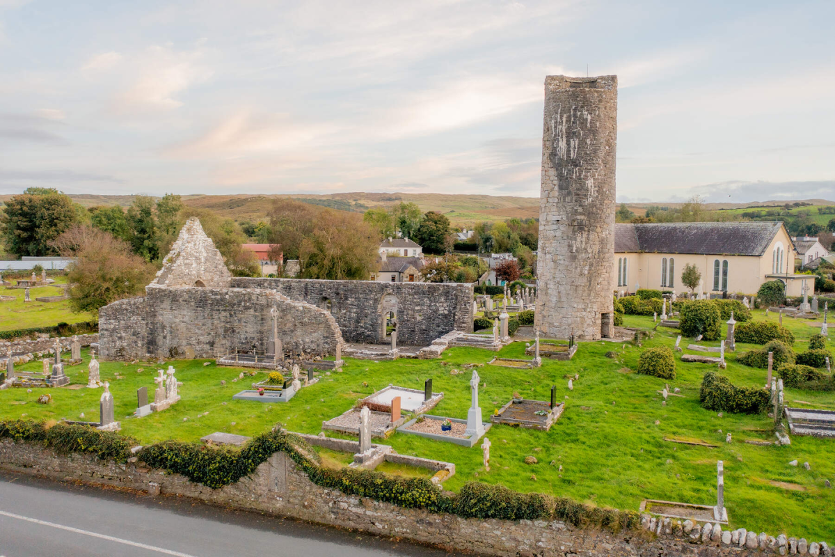 Tober EnainHoly well · 1278 yd
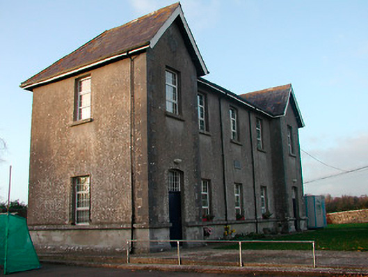 Drumraney National Schoolschool · 1641 yd
 Site of Lissanode CastleCastle, unclassified · 1.6 mi
 Noughaval CemeteryArchaeological place · 3.7 mi
 Japanese pagoda treeJapanese pagoda tree · 4.3 mi
 KnockastiaMountain / peak · 4.8 mi
 European BeechEuropean Beech · 5.0 mi
 Athlone Music MuseumMuseum · 9.5 mi
 1916 Centenery CommemorationMemorial · 9.5 mi