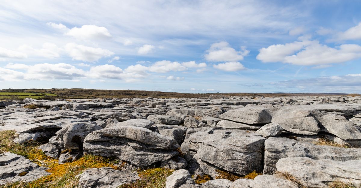
What is recorded here
No human has touched the soil of the Annagh barrow, yet satellite shadows and old survey lines preserve its oval shape. The mound hides inside ordinary pasture, waiting for dry summer grass to reveal the ditch that once marked its boundary. It is not a grand ruin but a patient ghost, visible only when light and patience align.
In grassland, ringfort (LI015-013----) 120m to NW. Cropmark of circular-shaped area (approx. diam. 12m) defined by a ditch visible on OSi orthoimage taken 2005-12.
Compiled by: Caimin O’Brien
Date of upload: 23 November 2020
The monument record does not grant public access. Check the route and ask the landowner before entering private land.
- What survives
- Recorded monument
Places near here
 Field system in RathField system · 140 yd
 KilnKiln, corn-drying · 146 yd
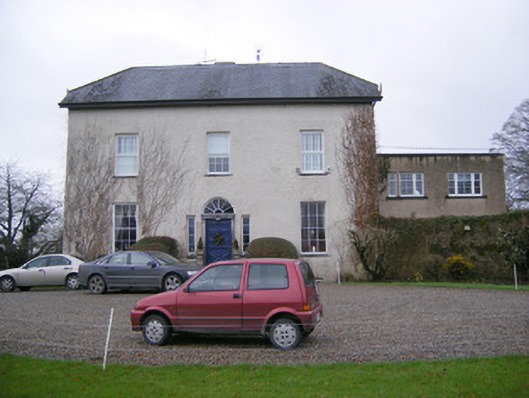 Abington Rectoryrectory/glebe/vicarage/curate's house · 662 yd
 Bawn in RathBawn · 757 yd
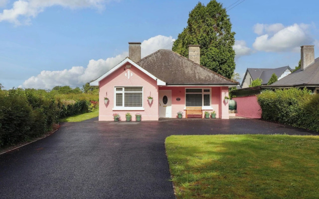 Kylenanny Bur.l GroundChildren's burial ground · 963 yd
 CastleCastle, unclassified · 1570 yd
 Graveyard in AbingtonGraveyard · 1603 yd
 Sliev Felim WayVisitor information · 1.5 mi
 Slieve Felim WayWalking route · 3.9 mi
 Slieve FelimMountain / peak · 4.9 mi
 KnockseefinMountain / peak · 4.9 mi
 ToberagaddySpring · 5.4 mi
Other information
Photo: Credit not shown in the picture search · Rights wording not checked; contact us if this picture should be removed