What is recorded here
Barrow is one of five possible buried chambers in reclaimed Limerick pasture, visible only when crops grow uneven above hidden stone. The Bruff survey caught its faint circular shadow in 1986, while drainage lines cut across the land like a forgotten compass. People may have stood there before the fields were made, but the soil has taken their names and the barrow keeps its own quiet company.
In reclaimed pasture, 140m W of townland boundary with Rathanny. Cropmark of a possible earthwork (LI040-207001-) lies 70m to the N. One of a cluster of 5 possible barrows (LI040-207002-/004-; LI040-209----). Not marked on OSi historic maps. Identified as a circular cropmark by the Bruff aerial photographic survey in 1986 (Bruff 93.05; AP 5/2102). Faint trace of monument visible as a circular cropmark (diam. c. 5m) intersected at W by a linear cropmark running roughly N-S on Digital Globe orthoimage taken between 2011-13. No surface remains visible on Google Earth orthoimages. Linear cropmarks visible on aerial images, some perpendicular to each other, appear to represent drainage channels of land reclamation works.
See attached Bruff survey image showing cropmark labelled Bruff 93.05 and Google Earth orthoimages.
Compiled by: Fiona Rooney
Date of upload: 29 June 2021
The monument record does not grant public access. Check the route and ask the landowner before entering private land.
- What survives
- Recorded monument
Places near here
 BarrowBarrow, unclassified · 150 yd
 Grave YardBurial ground · 996 yd
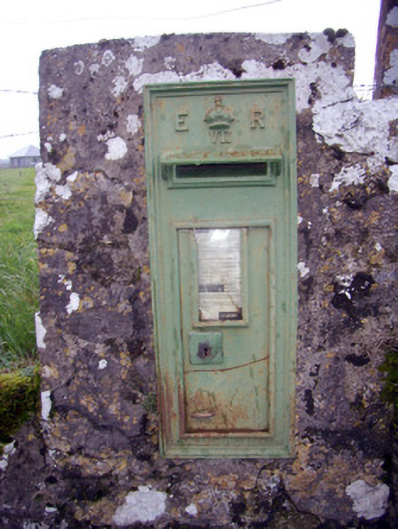 post boxpost box · 1480 yd
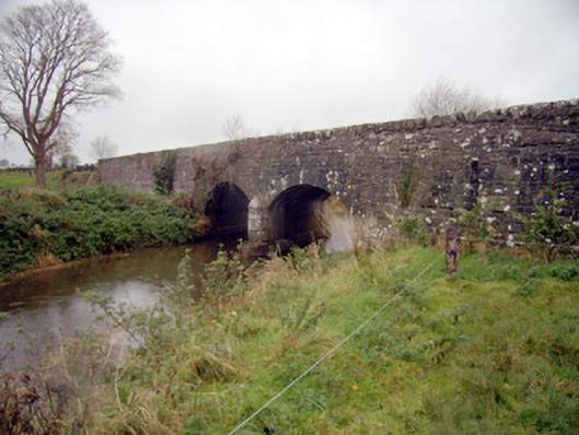 bridgebridge · 1639 yd
 Baggotstown Castle (in Ruins)House, fortified house · 1.2 mi
 Desmond Castle (in ruins)Castle, unclassified · 1.3 mi
 Flat cemetery in Knockainy WestFlat cemetery · 1.4 mi
 KnockainyMountain / peak · 1.7 mi
 St Patrick's WellSpring · 3.2 mi
 Edmund's WellSpring · 4.0 mi
 Ballinvreena LoopVisitor information · 4.6 mi
 Kilteely HillMountain / peak · 5.3 mi