What is recorded here
In the area to the E of the dividing fosse and bank of Dunmore (LH020-004001-) are three features (A, B and C), all of which are barrows.
Site A (LH020-004003-) consists of a circular level area (diam. c. 6m) enclosed by a fosse (Wth c. 4m) on N-WSW and outer bank (Wth c. 1.5m) on N-WSW. The fosse and bank are altered by the outer bank of the enclosure on SW-NE.
Site B (LH020-004004-) lies to the N of A, and consists of a level, roughly circular area (diam. c. 8m) with a fosse (Wth c. 3m) and outer bank (Wth c.2m) on the W. The fosse and bank are modified by juxtaposition with the outer bank and Site C to the NE.
Site C (LH020-004005-) consists of a level, circular platform (diam. 2m) enclosed by a fosse (Wth 1.5m) and outer bank (Wth 1m).
The above description is derived from the 'Archaeological Survey of County Louth' (Dublin: Stationery Office, 1991), No. 70, p. 45. In certain instances the entries have been revised and updated in the light of recent research.
LH020-004003-_01.jpg: Plan of the enclosed barrow group.
Date of upload: 12 July 2012
This monument is subject to a preservation order made under the National Monuments Acts 1930 to 2014 (PO no. 3/1998).
The monument record does not grant public access. Check the route and ask the landowner before entering private land.
- What survives
- Recorded monument
Places near here
 Belpatrick FortEnclosure · 24 yd
 Mount OrielMountain / peak · 1247 yd
 The White Horse FortFairy fort / earthen ringfort · 1714 yd
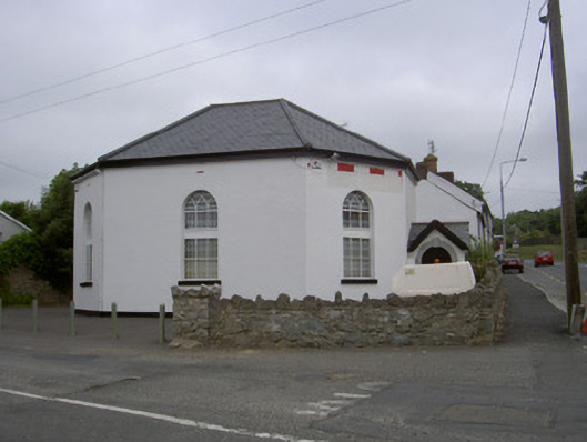 church/chapelchurch/chapel · 1.9 mi
 Site of Old CastleCastle, unclassified · 1.9 mi
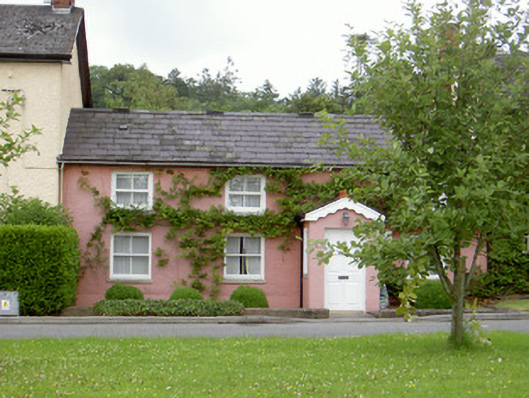 Grinny's Cottagehouse · 2.0 mi
 Cloghar WoodForest · 2.0 mi
 CastleCastle, tower house · 2.2 mi
 Valley WoodWood · 2.4 mi
 Black HillMountain / peak · 2.5 mi
 Irish Military Museum And ParkMuseum · 3.0 mi
 Mellifont AbbeyHeritage attraction · 4.2 mi