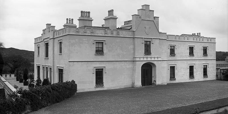
What is recorded here
One is a barrow and one is a ring-barrow, but the difference may be only the shape of the shadow they cast at sunrise. The land has kept both shapes while people stopped looking for them. What is buried there is not lost, because the ground still remembers the weight of the dead and the patience of stones.
In forestry, 75m NW of the Ballynamona River and 400m SW of a townland boundary with Portboy. Ring-barrow (LI032-097002-) lies 60m to NE and barrow (LI032-098----) lies 60m to SE. Not depicted on OSi historic maps. Identified as a ring-barrow and recorded as ‘Ballynamona (Hospital) 2’ by Grogan (1989, 218). The area has been planted with forestry and monument is not visible on OSi orthoimages taken 2005-2012, or on Digital Globe orthoimages taken 2011-2013, or on Google Earth orthoimages taken 05/04/2006.
See attached Google Earth orthoimage.
Compiled by: Alison McQueen and Vera Rahilly
Date of upload: 6 November 2020
The monument record does not grant public access. Check the route and ask the landowner before entering private land.
- What survives
- Recorded monument
Places near here
 Enclosure in Ballynamona (smallcounty By., Hospital Ed)Enclosure · 274 yd
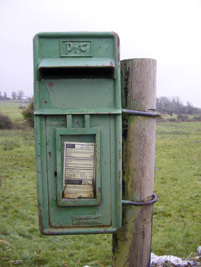 post boxpost box · 333 yd
 Ballynamona Church (in ruins)Church · 654 yd
 Ballynamona Castle (Site of)Castle, unclassified · 674 yd
 OutlinedEnclosure · 761 yd
 Bawn in Ballinscoola (smallcounty By., Cahercorney Ed)Bawn · 1.3 mi
 KnockainyMountain / peak · 1.9 mi
 Flat cemetery in Knockainy WestFlat cemetery · 2.1 mi
 Kilteely HillMountain / peak · 2.4 mi
 St. Patrick's WellSpring · 2.7 mi
 St Patrick's WellSpring · 5.4 mi
 Carn (site of)Cairn, burial cairn · 6.5 mi
Other information
Photo: Credit not shown in the picture search · Rights wording not checked; contact us if this picture should be removed