
What is recorded here
Ballynamona castle and church stand 360m SW, yet this suboval earthwork beside the R513 never appeared on historic maps. A 1986 aerial survey first revealed its irregular shape in improved pasture, suggesting human hands shaped the land before recorded history. The enclosure may have marked a boundary, a sanctuary or a forgotten home, but its purpose vanished with the people who built it.
In improved pasture, 90m NE of the R513 regional road, 130m SE of the Ballynamona River and 632m NE of a townland boundary with Gortacloona. Ballynamona castle (LI032-095001-) and church (LI032-095002-) lie 360m to SW. Not depicted on OSi historic maps. Monument identified by the Bruff aerial photographic survey in 1986 (Bruff 223: AP 5/2018) as a suboval-shaped earthwork to the immediate E of a field boundary running roughly N-S. Possible monument is visible as a poorly defined, irregular-shaped area (37m N-S; 36m E-W) of probable rock outcrop, as seen on OSi orthoimage taken 2005-2012, on Digital Globe orthoimage taken 2011-2013 and on Google Earth orthoimage 28/06/2018.
See attached Google Earth orthoimage taken 25/03/2017 and Bruff aerial survey image labelled 223
Compiled by: Alison McQueen and Vera Rahilly
Date of upload: 22 November 2020
The monument record does not grant public access. Check the route and ask the landowner before entering private land.
- What survives
- Recorded monument
Places near here
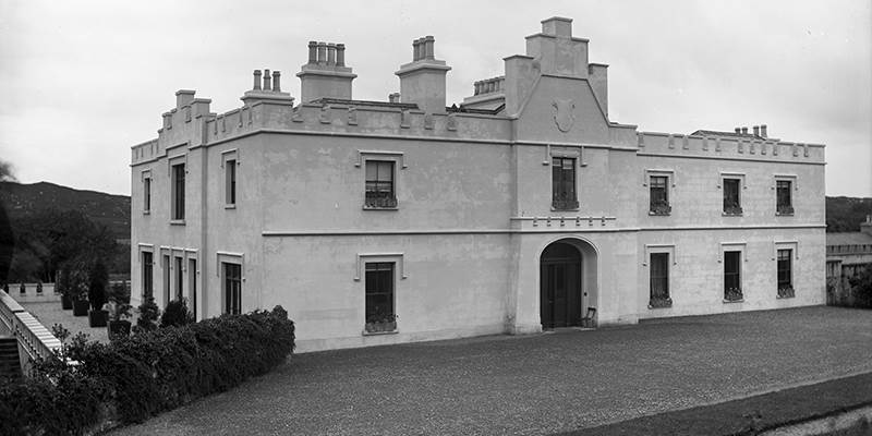 BarrowBarrow, unclassified · 274 yd
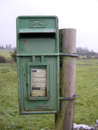 post boxpost box · 336 yd
 Ballynamona Church (in ruins)Church · 438 yd
 Ballynamona Castle (Site of)Castle, unclassified · 476 yd
 OutlinedEnclosure · 904 yd
 Bawn in Ballinscoola (smallcounty By., Cahercorney Ed)Bawn · 1.3 mi
 KnockainyMountain / peak · 1.8 mi
 Flat cemetery in Knockainy WestFlat cemetery · 1.9 mi
 Kilteely HillMountain / peak · 2.4 mi
 St. Patrick's WellSpring · 2.8 mi
 St Patrick's WellSpring · 5.3 mi
 Carn (site of)Cairn, burial cairn · 6.3 mi
Other information
Photo: Credit not shown in the picture search · Rights wording not checked; contact us if this picture should be removed