
What is recorded here
On a hillock (322ft/98m), in pasture, 105m E of a townland boundary with Ballinscoola. Depicted on the 1897 ed. OSi 25-inch map as a roughly circular-shaped enclosure (29m NE-SW; 28m NW-SE) with OSi trig. staion marking spot heigh of 322 ft. OD inside enclosure. Upstanding monument is visible as a roughly circular-shaped tree-lined earthwork on OSi orthoimages taken 2005-2012, on Digital Globe orthoimages taken 2011-2013 and on Google Earth orthoimages taken 28/06/2018. Earthwork may be related to the OSi trig. station shown on the OSi 6-inch map.
See attached Google Earth orthoimage
Compiled by: Alison McQueen and Vera Rahilly
Date of upload: 6 November 2020
The monument record does not grant public access. Check the route and ask the landowner before entering private land.
- What survives
- Recorded monument
Places near here
 BarrowBarrow, ring-barrow · 471 yd
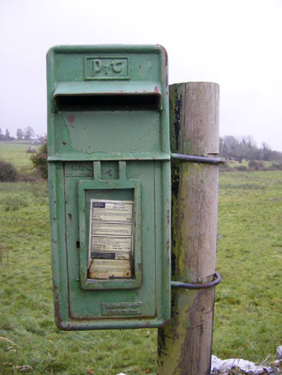 post boxpost box · 586 yd
 Enclosure in Ballinscoola (smallcounty By., Cahercorney Ed)Enclosure · 593 yd
 Ballynamona Castle (Site of)Castle, unclassified · 908 yd
 Ballynamona Church (in ruins)Church · 943 yd
 Bawn in Ballinscoola (smallcounty By., Cahercorney Ed)Bawn · 1639 yd
 KnockainyMountain / peak · 1.9 mi
 Glen BogForest · 2.1 mi
 Flat cemetery in Knockainy WestFlat cemetery · 2.2 mi
 Kilteely HillMountain / peak · 2.7 mi
 St. Patrick's WellSpring · 3.0 mi
 St Patrick's WellSpring · 5.7 mi
Other information
Photo: Credit not shown in the picture search · Rights wording not checked; contact us if this picture should be removed