What is recorded here
On a N-facing slope in the foothills of the Galty mountains, in wet, waterlogged pasture. A raised, roughly circular, slightly dished, central area (diam. 15.2m N-S; 14m E-W) enclosed by a fosse (Wth 2m; D 0.4-1m) and outer bank (Wth 4-4.9m; int. H 0.9-1.6m; ext. H 0.71-1.12m). There is a slight suggestion of an outer fosse but this may be the result of cattle poaching when sheltering up against external face of the bank. Field clearance consisting of stones and small boulders have been dumped in the interior in the N quadrant. The bank is overgrown with scrub, holly, brambles and gorse and the interior is under grass. There is a gap (Wth 1.5m) through the bank in the NW sector.
Compiled by: Jean Farrelly
Date of upload: 26 August 2011
A ring-barrow, likely dating to the Early Bronze Age, associated with funerary practices and burial mounds in Ireland. Its construction reflects the use of a surrounding fosse and raised central area typical of ceremonial or elite burials of the period.
The monument record does not grant public access. Check the route and ask the landowner before entering private land.
- What survives
- Recorded monument
Places near here
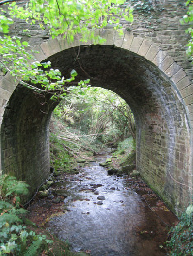 Longford Bridgebridge · 410 yd
 Site of Dungrot CastleCastle, unclassified · 581 yd
 Dungrot Bridgebridge · 665 yd
 KyleEnclosure · 812 yd
 CurraghMountain / peak · 1294 yd
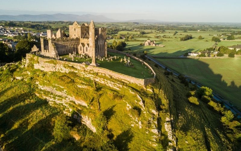 IndicatedFairy fort / earthen ringfort · 1369 yd
 Knockanebrack HillMountain / peak · 1470 yd
 Giant's Rock - Rock of AglaishNamed rock · 1.0 mi
 Ballynacourty HouseCastle, unclassified · 1.4 mi
 Noel's NippleNamed rock · 1.6 mi
 Lough CurraWalking route · 1.8 mi
 Bansha ForestForest · 2.2 mi