What is recorded here
Situated on a slight NW-facing slope near summit of hillock, in gently undulating pasture. Circular slightly raised area (diam. 11m) defined by a low bank of earth (Wth 2.65m; int. H 0.3m). At the external foot of the bank is a fosse (Wth 2.2m; D 0.35m). A break in the bank (Wth 1.15m) with an irregular causeway across the fosse appears to be modern. At the centre of the interior is a slightly raised area (diam. 4m), defined by a faint scarped edge, which may mark the remains of a central mound.
Compiled by: Patrick F. O'Donovan
Date of upload: 21 April 2011
A Neolithic ring-barrow, dating to approximately 2500–2000 BCE. This type of monument is significant as an early form of burial structure, often associated with single inhumations and reflecting early social and ritual practices in the region.
The monument record does not grant public access. Check the route and ask the landowner before entering private land.
- What survives
- Recorded monument
Places near here
 Enclosure in Castlegal (carbury By., Glencar Ed)Enclosure · 785 yd
 Enclosure in LugatoberEnclosure · 871 yd
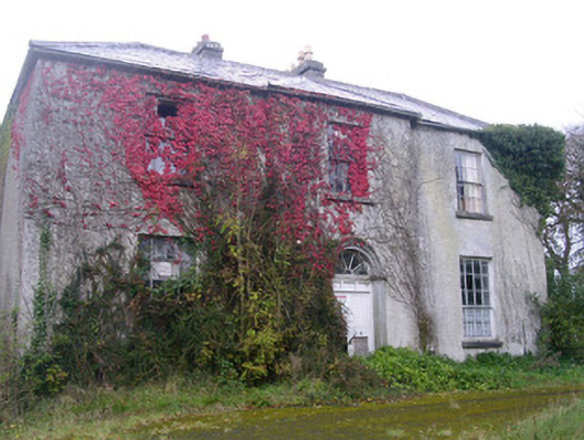 Doonally Househouse · 1.1 mi
 Copes MountainMountain / peak · 1.6 mi
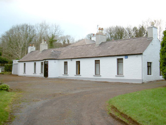 Fort Louishouse · 2.3 mi
 Kings MountainMountain / peak · 2.4 mi
 European BeechEuropean Beech · 2.6 mi
 Glencar Lough ViewpointViewpoint · 2.7 mi
 Glencar IslandIslet · 3.0 mi
 Glencar WaterfallVisitor information · 3.0 mi
 Castle (in Ruins)Castle, unclassified · 3.1 mi
 St. John's CathedralMemorial · 3.6 mi