
What is recorded here
At the N end of large, flat field of pasture, near the W foot of Cope’s Mountain.
This monument was identified in 2021 in a geophysical survey carried out as part of archaeological investigations on the N16 Lugatober (Drumkilsellagh to Lugnagall) Road Project, Co. Sligo (Dowling 2021). It lies outside the road corridor and remains in situ. It is not visible at ground level, but geophysical imagery reveals a circular enclosure (diam. c. 18m) defined by a ditch. Strong magnetic responses at the E and SE sectors of the ditch suggest the presence of burnt or fired material within its fill. Gaps are evident around the circuit of the ditch and may indicate one or more entrance features. A possible ring-ditch (SL009-071----) is 35m to SW.
Attached images extracted from geophysical report (Dowling 2021):
SL009-070----_01.JPG Greyscale image of the gradiometry results: enclosure marked with red arrow (from Dowling 2021)
SL009-070----_02.JPG Interpretative plan of gradiometry results: enclosure marked as ‘1’/red arrow (from Dowling 2021)
Compiled by: Jane O'Shaughnessy
Date of upload: 2 December 2021
A local fairy fort (ringfort/rath); wider significance not recorded.
The monument record does not grant public access. Check the route and ask the landowner before entering private land.
- What survives
- Recorded monument
Places near here
 Enclosure in Castlegal (carbury By., Glencar Ed)Enclosure · 808 yd
 Enclosure in CollinsfordEnclosure · 996 yd
 Copes MountainMountain / peak · 1.4 mi
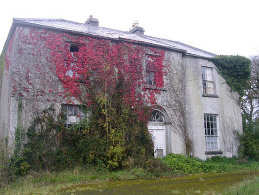 Doonally Househouse · 1.6 mi
 Kings MountainMountain / peak · 2.0 mi
 Glencar Lough ViewpointViewpoint · 2.2 mi
 Gleniff Barytes MineRuins · 2.4 mi
 Glencar IslandIslet · 2.7 mi
 Glencar WaterfallVisitor information · 2.7 mi
 Castle (in Ruins)Castle, unclassified · 2.9 mi
 European BeechEuropean Beech · 3.1 mi
 Memorial Francis FinnMemorial · 3.4 mi
Other information
Photo: Credit not shown in the picture search · Rights wording not checked; contact us if this picture should be removed