What is recorded here
In low-lying level rough pasture to the W of another possible ring-barrow (TS065-028002-). Visible as a circular enclosure (diam. c. 10m) on an aerial photograph (OS 2429/30/31). Not visible at ground level.
Compiled by: Jean Farrelly
Date of upload: 14 May 2014
A ring-barrow, likely dating to the Early Bronze Age. Its significance lies in its potential as a funerary monument and its visibility in aerial photographs, indicating preservation of its structural form despite being unremarkable at ground level.
The monument record does not grant public access. Check the route and ask the landowner before entering private land.
- What survives
- Recorded monument
Places near here
 Enclosure in Ballyholahan EastEnclosure · 354 yd
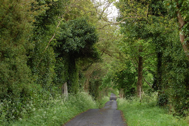 Enclosure in BallyhoneEnclosure · 1742 yd
 Church in Lackelly WestChurch · 1.1 mi
 Glebe Ho.Castle, unclassified · 1.2 mi
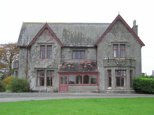 Scarteen Housecountry house · 1.3 mi
 CastleCastle, motte · 1.7 mi
 St Patrick's WellSpring · 1.7 mi
 Carn (site of)Cairn, burial cairn · 1.7 mi
 Saint Patrick's WellSpring · 2.5 mi
 Flat cemetery in Knockainy WestFlat cemetery · 3.6 mi
 Ballinvreena LoopVisitor information · 4.7 mi
 SlievereaghMountain / peak · 4.9 mi