What is recorded here
On top of a low hill, sloping gently to the SE, in gently undulating terrain, in lush pasture. Good to extensive views in all directions, with Slievenamon Mountain to the E. Circular, flat-topped mound (diam. 24.3m N-S; 25.4m E-W; H 0.44-0.69m), sloping gently to a wide, flat-bottomed fosse (Wth 5.6-6.5m) with an outer bank (int. H 0.33-0.56m; ext. H 0.2-0.25m; Wth at crest 4.2-6m; overall Wth 8.2-12.8m) evident in the SE-S as a low, flat, broad bank, not as clear from S-W and not evident N-SE.
Compiled by: Jean Farrelly
Date of upload: 14 November 2016
The monument record does not grant public access. Check the route and ask the landowner before entering private land.
- What survives
- Recorded monument
Places near here
 IndicatedFairy fort / earthen ringfort · 687 yd
 Church (in Ruins)Church · 1137 yd
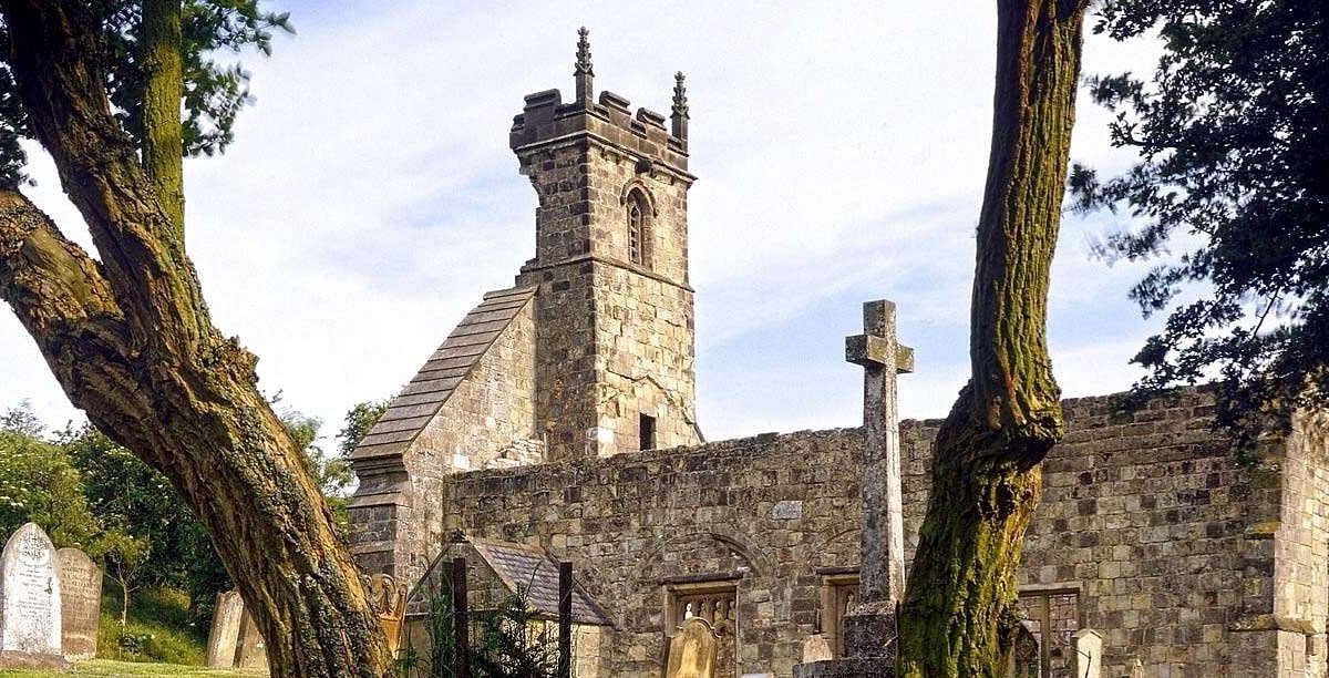 Settlement desertedSettlement deserted, medieval · 1214 yd
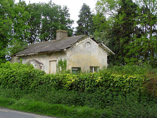 Knockeevan Housegate lodge · 1756 yd
 CastleCastle, unclassified · 1.1 mi
 Pedunculate OakPedunculate Oak · 1.2 mi
 Castle (in ruins)Castle, tower house · 1.3 mi
 Persian WalnutPersian Walnut · 2.4 mi
 Kilknockan HillMountain / peak · 4.6 mi
 Charles BianconiMemorial · 4.9 mi
 Francis HopkinsMemorial · 4.9 mi
 Main GuardHeritage attraction · 4.9 mi