What is recorded here
On top of the level summit of a broad locally prominent hill, with gentle slopes falling to the W and N. Ringfort (TS066-008001-) is located 40m to the SE. A water reservoir is located 10m to the SE. Flat-topped circular earthen mound (diam. top 3.2m N-S; base 13.2m; H 1.95m) with no fosse or quarry ditch visible at ground level. The edge of the mound has been eroded SE-S leaving an irregular hollow extending from the summit to the base. An E-W orientated farm track abuts the base of the mound at S. The mound is clear of overgrowth except for a mature thorn bush on the S side.
Compiled by: Jean Farrelly
Date of upload: 26 August 2011
Mound barrow, likely dating to the Early Bronze Age. Its location on a prominent hilltop suggests it was a significant ceremonial or funerary monument in a local landscape of ritual importance.
The monument record does not grant public access. Check the route and ask the landowner before entering private land.
- What survives
- Recorded monument
Places near here
 Site of ChurchChurch · 283 yd
 Enclosure in BallynacreeEnclosure · 963 yd
 Kilcornan Church (in Ruins)Church · 1.1 mi
 Site of Castle LoaghnyCastle, unclassified · 1.3 mi
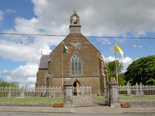 Catholic Church of the Assumptionchurch/chapel · 1.3 mi
 RathduffCastle, ringwork · 1.9 mi
 Oola HillMountain / peak · 3.5 mi
 Carn (site of)Cairn, burial cairn · 4.0 mi
 SlievenamuckMountain / peak · 4.7 mi
 Bansha ForestForest · 5.3 mi
 St. Patrick's WellSpring · 5.4 mi
 St Patrick's WellSpring · 6.2 mi