What is recorded here
On a knoll on a W-facing slope. Circular grass-covered earthen mound (diam. of base 10.2m N-S; 9.6m E-W) with a flat top (diam. 3.6m N-S; 3.4m E-W; H 1.5-1.65m). Kerbstones are intermittently visible around the base.
Compiled by: Michael Moore
Date of upload: 24 August 2010
Mound barrow, likely dating to the Early Bronze Age. These barrows are significant as they represent some of the earliest monumental burial traditions in the region, often associated with elite or high-status burials.
The monument record does not grant public access. Check the route and ask the landowner before entering private land.
- What survives
- Recorded monument
Places near here
 Religious houseReligious house, unclassified · 1192 yd
 Enclosure in ReaskEnclosure · 1409 yd
 IndicatedFairy fort / earthen ringfort · 1436 yd
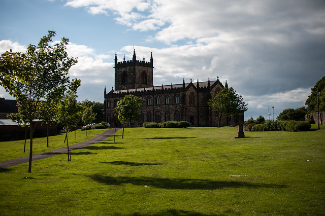 Assylin ChurchChurch · 2.2 mi
 King William MemorialMonument · 2.9 mi
 Boyle AbbeyHeritage attraction · 3.0 mi
 Rose PointHeadland · 4.0 mi
 Inch IslandIslet · 4.0 mi
 Castle (in Ruins)Castle, unclassified · 4.0 mi
 Moylung Castle (in ruins)Castle, unclassified · 4.0 mi
 Castle PointHeadland · 4.1 mi
 Curlew MountainsMountain / peak · 4.2 mi