What is recorded here
Cropmark of ditch-barrow visible on Digital Globe orthophoto taken between 2011-13 and on Google Earth orthoimage.
See attached Google Earth orthoimage
Compiled by: Caimin O'Brien based on details provided by Jean-Charles Caillère
Date of upload: 2 November 2021
Ditch barrow, likely dating to the Early Bronze Age. Its significance lies in its association with early funerary and ritual practices in the region, though its exact function remains unclear due to limited physical remains.
The monument record does not grant public access. Check the route and ask the landowner before entering private land.
- What survives
- Recorded monument
Places near here
 Enclosure in KnockderkEnclosure · 461 yd
 Field system in CloghaderreenField system · 527 yd
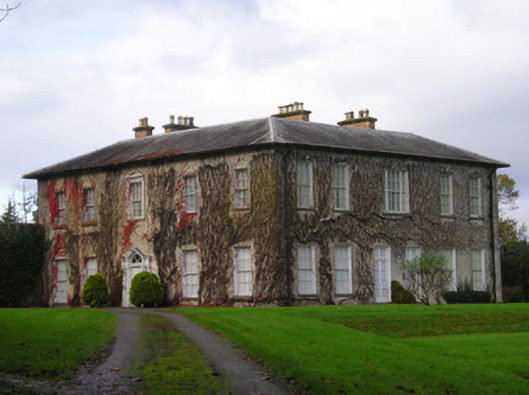 Derkcountry house · 989 yd
 (Site of) CastleCastle, unclassified · 1627 yd
 Pallas MoatCastle, motte · 1700 yd
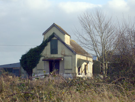 Race Creamerycreamery · 1729 yd
 St. Patrick's WellSpring · 2.0 mi
 KnockseefinMountain / peak · 2.2 mi
 Kilteely HillMountain / peak · 2.2 mi
 Flat cemetery in Knockainy WestFlat cemetery · 5.9 mi
 St Patrick's WellSpring · 7.3 mi
 Ballinvreena LoopVisitor information · 10 mi